
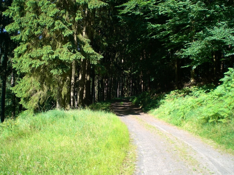

Schöne Wanderung am Lauzenberg. Beginnend in der Straße Am Klingental, wo man sein Auto gut am Straßenrand (Sackgasse) parken kann, dann eben entlang der Hasel bevor es dann steil nach oben geht. Oben angelangt mäandert der ebene Weg am Lauzenberg entlang bis es heisst wieder nach unten zu gehen.
Carte du tour et altitude
Minimum height 150 m
Maximum height 336 m
More about the tour author

|
PVO |
Commentaires

A66 Ausfahrt Bad Orb. In Bad Orb an der Ampel-Kreuzung nach links und dann Rechts in die Haselstraße (Beschilderung Haselweiher). Nach einem stillgelegten Sägewerk links in die Straße "Am Klingental".
Tracks GPS
Trackpoints-
GPX / Garmin Map Source (gpx) download
-
TCX / Garmin Training Center® (tcx) download
-
CRS / Garmin Training Center® (crs) download
-
Google Earth (kml) download
-
G7ToWin (g7t) download
-
TTQV (trk) download
-
Overlay (ovl) download
-
Fugawi (txt) download
-
Kompass (DAV) Track (tk) download
-
Feuille de tours (pdf) download
-
Original file of the author (gpx) download
More about the tour author
|
|
PVO |
Add to my favorites
Remove from my favorites
Edit tags
Open track
My score
Rate