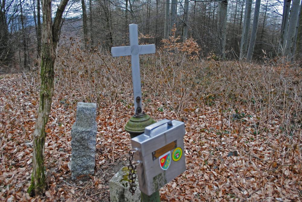
Start Strasse KlausenLepoldsdorf-Gruberau beim nächsten Wegkreuz nach den Parzerkreuz,klingt kompliziert ist aber leicht zu finden.Rot markiert auf Forststrasse (Achtung neue Abzweigung)an Gehöften vorbei.Nach ca.2km verlassen wir die rote Markierung und benützen bei einer Kreuzung die aufstrebende linke Forststrasse.Nach ca.1km links steile Schneise.Diese nehmen wir und gelangen direkt zum Gipfelkreuz des Roßgipfels..Gleiche Route zurück.
Galerie du tour
Carte du tour et altitude
Minimum height 300 m
Maximum height 642 m
Commentaires

Tracks GPS
Trackpoints-
GPX / Garmin Map Source (gpx) download
-
TCX / Garmin Training Center® (tcx) download
-
CRS / Garmin Training Center® (crs) download
-
Google Earth (kml) download
-
G7ToWin (g7t) download
-
TTQV (trk) download
-
Overlay (ovl) download
-
Fugawi (txt) download
-
Kompass (DAV) Track (tk) download
-
Feuille de tours (pdf) download
-
Original file of the author (gpx) download
Add to my favorites
Remove from my favorites
Edit tags
Open track
My score
Rate

