Login

Login oublié ?

Cookies have to be accepted!
Your browser's cookie functionality is disabled. Please enable this functionality.

Not a member yet?

Register now
Login

Available for registred users only

Log in to use this feature.

Login oublié ?

Cookies have to be accepted!
Your browser's cookie functionality is disabled. Please enable this functionality.

Not a member yet?

Register now
Filter
Catégories
Advanced filters
  • Longueur (km)
  • Altimètre
Enregistrer le filtre Reset filter

TrackRank

QRCode

Technical data

Longueur36,9 km Altimètre665 m Way down674 m Durée03:50 h:m Date18.03.2012
Evaluations Author Paysage Aspect amusement Condition Technique

Statistiques

418 Vues Evaluations 45 Téléchargements Moyenne
Rate
  • Feuille de tours
  • Arrivée
  • Téléchargements


Start Sportplatz Schönbronn.
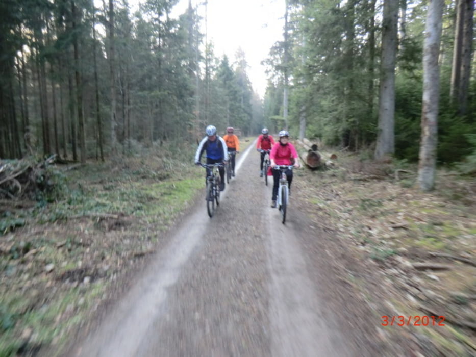
An der Tennisanlage vorbei über die Straße gleich der erste leichte Trail weiter auf dem Forstweg Richtung Effringen.
Rechts abbiegen zum nächstenTrail, auf dem Schotterweg über Wenden nach Wart am Sonnenbühl Hotel vorbei über die Straße. Dem Wanderweg nach Berneck folgen, Trail.
Zur Baiermühle fahren wir weiter auf dem Forstweg nach Hofstett bis zum höchsten Punkt der Tour (700m) Schützenhaus Weikemühle über Buhlacherstern nach Schönbronn zurück.


Carte du tour et altitude

  • Open Street Map
  • Google
Minimum height 450 m Maximum height 709 m Vue de détail

More about the tour author

wilbi
Member since 2010

Send private message

Commentaires

Tracks GPS

Trackpoints
  • GPX / Garmin Map Source (gpx) download
  • TCX / Garmin Training Center® (tcx) download
  • CRS / Garmin Training Center® (crs) download
  • Google Earth (kml) download
  • G7ToWin (g7t) download
  • TTQV (trk) download
  • Overlay (ovl) download
  • Fugawi (txt) download
  • Kompass (DAV) Track (tk) download
  • Feuille de tours (pdf) download
  • Original file of the author (gpx) download

More about the tour author

wilbi
Member since 2010

Send private message
Share track
Add to my favorites
Remove from my favorites
Edit tags
My score
Rate
Tour: Wildberg-Hofstett-Weikemühle
Cat.: Mountainbike
Longueur: 36,9 km
Evaluated on:
Durée:
Day(s)
Hour(s)
Minute(s)
Evaluation: Paysage Aspect amusement Condition Technique