


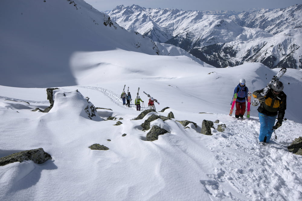
Wunderschöne Nord- und Nordost-Hänge unter der Hochkarspitze.
Wegen des steilen Einstiegs in dienordseitigen Hänge nur bei sehr guten Bedingungen möglich!
Alternative Abfahrten gehen über die Westseite ins Tal.
Wegen des steilen Einstiegs in dienordseitigen Hänge nur bei sehr guten Bedingungen möglich!
Alternative Abfahrten gehen über die Westseite ins Tal.
Galerie du tour


Carte du tour et altitude
Minimum height 1286 m
Maximum height 2851 m
More about the tour author

|
Egika |
Commentaires

Einstieg in die Tour ab Skigebiet Rendl
Tracks GPS
Trackpoints-
GPX / Garmin Map Source (gpx) download
-
TCX / Garmin Training Center® (tcx) download
-
CRS / Garmin Training Center® (crs) download
-
Google Earth (kml) download
-
G7ToWin (g7t) download
-
TTQV (trk) download
-
Overlay (ovl) download
-
Fugawi (txt) download
-
Kompass (DAV) Track (tk) download
-
Feuille de tours (pdf) download
-
Original file of the author (gpx) download
More about the tour author
|
|
Egika |
Add to my favorites
Remove from my favorites
Edit tags
Open track
My score
Rate