Login

Login oublié ?

Cookies have to be accepted!
Your browser's cookie functionality is disabled. Please enable this functionality.

Not a member yet?

Register now
Login

Available for registred users only

Log in to use this feature.

Login oublié ?

Cookies have to be accepted!
Your browser's cookie functionality is disabled. Please enable this functionality.

Not a member yet?

Register now
Filter
Catégories
Advanced filters
  • Longueur (km)
  • Altimètre
Enregistrer le filtre Reset filter

TrackRank

QRCode

Technical data

Longueur15,9 km Altimètre536 m Way down524 m Durée10:43 h:m Date21.03.2012
Evaluations Author Paysage Aspect amusement Condition Technique

Statistiques

613 Vues Evaluations 80 Téléchargements Moyenne
Rate
  • Feuille de tours
  • Arrivée
  • Téléchargements

Wir beginnen auf Höhe der Dornachalpe. Von dort geht es bergan Richtung Hintere Enge.

Dort machten wir die erste Rast. Dann geht es weiter mit einem Abstecher nach Österreich Richtung Außerschwende. Von dort geht über deb Hörnlepaß hoch zur Osterbergalpe. Von dort aus hat man bei gutem Wetter eine sehr schöne Aussicht ins Kleinwalsertal. Danach geht es wieder zurück zum Rasten in der Dornachalpe.
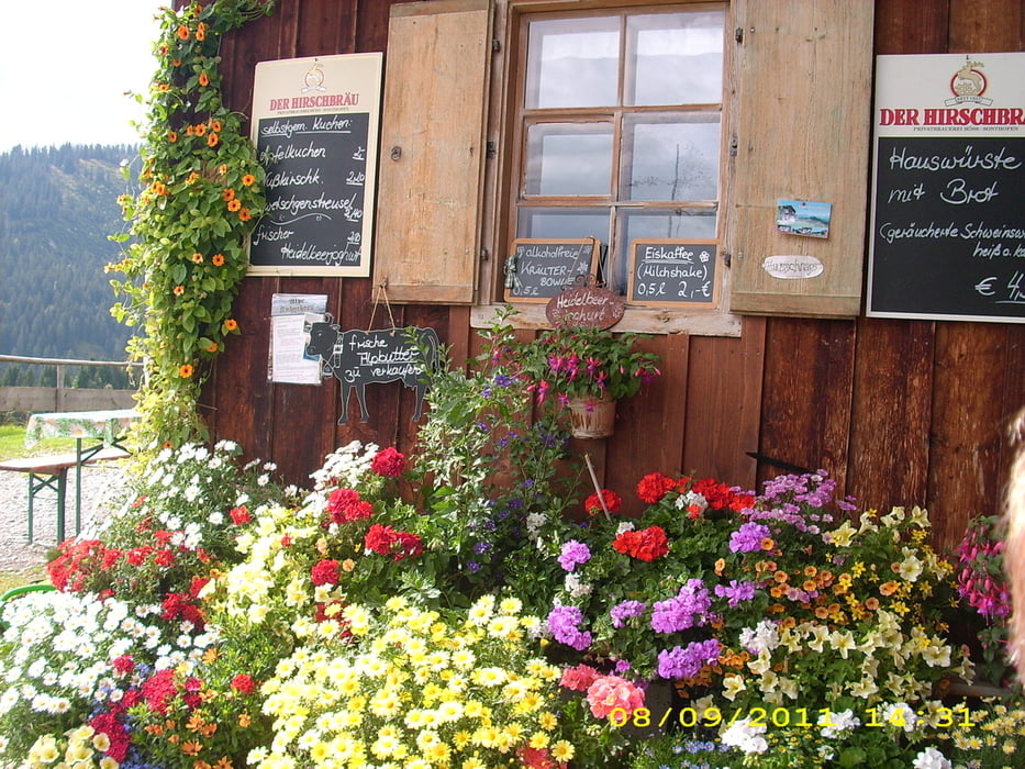
Galerie du tour

Carte du tour et altitude

  • Open Street Map
  • Google
Minimum height 962 m Maximum height 1264 m Vue de détail

More about the tour author

Bomber
Member since 2008

Send private message

Commentaires

Tracks GPS

Trackpoints
  • GPX / Garmin Map Source (gpx) download
  • TCX / Garmin Training Center® (tcx) download
  • CRS / Garmin Training Center® (crs) download
  • Google Earth (kml) download
  • G7ToWin (g7t) download
  • TTQV (trk) download
  • Overlay (ovl) download
  • Fugawi (txt) download
  • Kompass (DAV) Track (tk) download
  • Feuille de tours (pdf) download
  • Original file of the author (gpx) download

More about the tour author

Bomber
Member since 2008

Send private message
Share track
Add to my favorites
Remove from my favorites
Edit tags
My score
Rate
Tour: Rundwanderung auf guten Wegen
Cat.: Randonnées
Longueur: 15,9 km
Evaluated on:
Durée:
Day(s)
Hour(s)
Minute(s)
Evaluation: Paysage Aspect amusement Condition Technique