


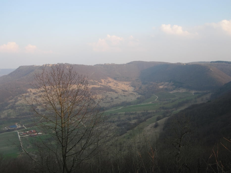
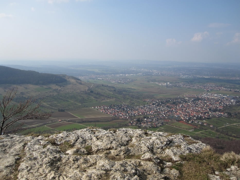
Von Oberboihingen aus geht es Richtung Bürgerseen, am Segelflugplatz Hahnweide vorbei nach Dettingen. Von dort aus geht es den “ Ho Tschi Minh Pfad“ hoch bis zu Burg Teck. Weiter am “Gelben Fels“ vorbei zum “Sattelbogen“ (anspruchsvolle Abfahrt). Dann wieder hoch bis zum “Engelhof“ Richtung Ochsenwang. Wir überqueren die Hauptstraße und fahren oben am „Breitenstein“ entlang. Nun beginnt eine lange, schöne, anspruchsvolle Abfahrt :-))) Es geht weiter nach Bissingen, biegen am Ortsende links ab wieder nach Dettingen. Von dort aus, den gleichen Weg wieder bis Oberboihingen zurück.
Galerie du tour


Carte du tour et altitude
Minimum height 256 m
Maximum height 813 m
More about the tour author
|
|
Bosch159 |
Commentaires

Start ist in Oberboihingen.
Zwischen Wendlingen und Nürtingen.
Tracks GPS
Trackpoints-
GPX / Garmin Map Source (gpx) download
-
TCX / Garmin Training Center® (tcx) download
-
CRS / Garmin Training Center® (crs) download
-
Google Earth (kml) download
-
G7ToWin (g7t) download
-
TTQV (trk) download
-
Overlay (ovl) download
-
Fugawi (txt) download
-
Kompass (DAV) Track (tk) download
-
Feuille de tours (pdf) download
-
Original file of the author (gpx) download
More about the tour author
|
|
Bosch159 |
Add to my favorites
Remove from my favorites
Edit tags
Open track
My score
Rate