


Startpunkt ist die Bikestation von M-Bike
Zu Beginn geht es über Nebenweg nach Arta und von dort in den Nationalpark.
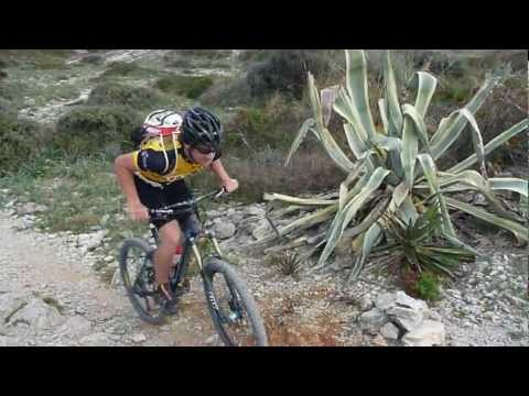
Dort geht es über Asphalt später Schotter (teilweise Trails) zum höchsten Punkt der Tour. Nach ner längeren Schotterabfahrt (grobes Gestein) geht es zum alten Turm auf der Landzung. Ab dort beginnt der sehr technischen Trail (schieben muss jeder ein paar Mal > weniger Geübte kommen sicher auf 30min schieben aber jeweils aufgeteilt in kleine Stücke). Der Teil der Tour ist nicht ohne und führt teilweise direkt an den Klippen entlang. Also Sicherheit geht vor! NAch den Trail geht es über Waldweg und steinige Uphills wieder nach Capdepera.
Further information at
http://www.mountaintrails.deGalerie du tour


Carte du tour et altitude
Minimum height
Maximum height 228 m
More about the tour author
|
|
Roadrunner75 |
Commentaires

Mit dem Auto über Capdepera nach Cala Radjada und dann im Zentrum zu M-Bike
Tracks GPS
Trackpoints-
GPX / Garmin Map Source (gpx) download
-
TCX / Garmin Training Center® (tcx) download
-
CRS / Garmin Training Center® (crs) download
-
Google Earth (kml) download
-
G7ToWin (g7t) download
-
TTQV (trk) download
-
Overlay (ovl) download
-
Fugawi (txt) download
-
Kompass (DAV) Track (tk) download
-
Feuille de tours (pdf) download
-
Original file of the author (gpx) download
More about the tour author
|
|
Roadrunner75 |
Add to my favorites
Remove from my favorites
Edit tags
Open track
My score
Rate