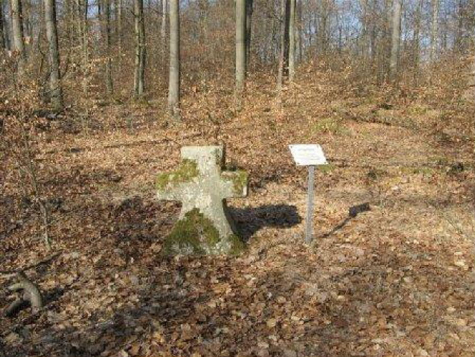
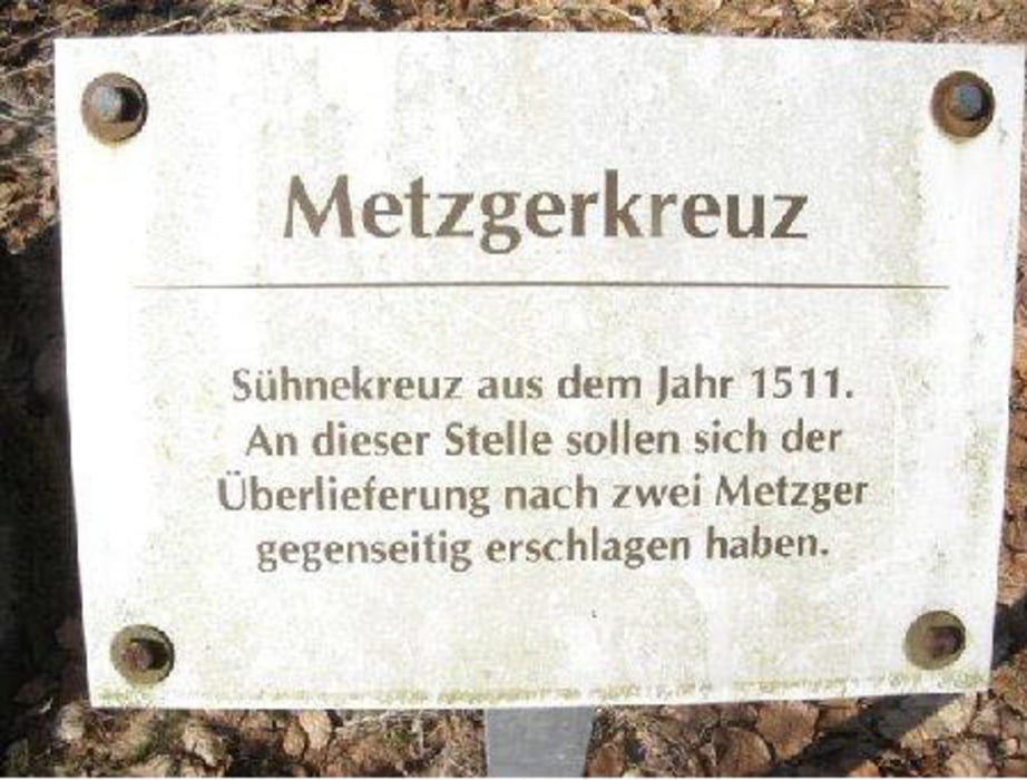
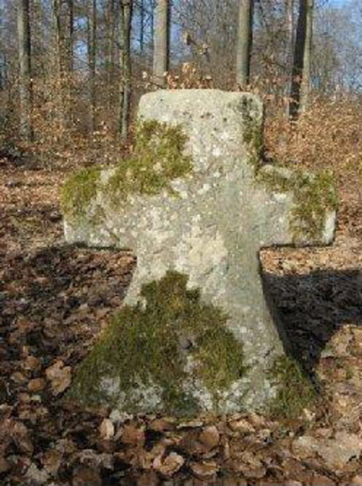
Von Zeil am Main in den Steigerwald, durch den Böhlgrund, vorbei am Wotansborn zum Metzgerkreuz. Siehe Bilder. Schöne Waldtour, einfach nachfahren und genießen.
Galerie du tour
Carte du tour et altitude
Minimum height 218 m
Maximum height 464 m
Commentaires

Zeil am Main liegt ca. in der Mitte von Schweinfurt und Bamberg an der B26
Tracks GPS
Trackpoints-
GPX / Garmin Map Source (gpx) download
-
TCX / Garmin Training Center® (tcx) download
-
CRS / Garmin Training Center® (crs) download
-
Google Earth (kml) download
-
G7ToWin (g7t) download
-
TTQV (trk) download
-
Overlay (ovl) download
-
Fugawi (txt) download
-
Kompass (DAV) Track (tk) download
-
Feuille de tours (pdf) download
-
Original file of the author (gpx) download
Add to my favorites
Remove from my favorites
Edit tags
Open track
My score
Rate


