Login

Login oublié ?

Cookies have to be accepted!
Your browser's cookie functionality is disabled. Please enable this functionality.

Not a member yet?

Register now
Login

Available for registred users only

Log in to use this feature.

Login oublié ?

Cookies have to be accepted!
Your browser's cookie functionality is disabled. Please enable this functionality.

Not a member yet?

Register now
Filter
Catégories
Advanced filters
  • Longueur (km)
  • Altimètre
Enregistrer le filtre Reset filter

TrackRank

QRCode

Technical data

Longueur52,7 km Altimètre271 m Way down290 m Durée03:00 h:m Date30.03.2012
Evaluations Author User Paysage Aspect amusement Condition Technique

Statistiques

591 Vues 1 Evaluation 76 Téléchargements 3.00 Moyenne
Rate
  • Feuille de tours
  • Arrivée
  • Téléchargements
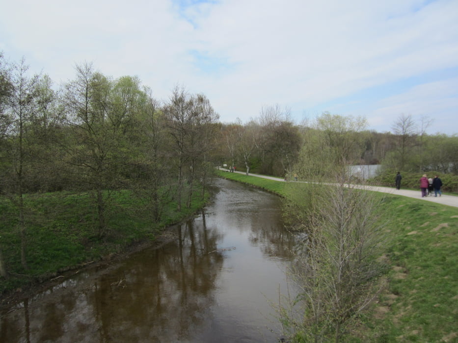
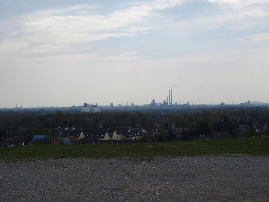
Die Tour führt von oberhausen Osterfeld nach Bottrop Grafenwald und weiter durch die Grafschaft zum Oberlohberg und dann zur Halde in Barmingholten und zurück über Königshardt und Halde Haniel

Galerie du tour

Carte du tour et altitude

  • Open Street Map
  • Google
Minimum height 33 m Maximum height 86 m Vue de détail

More about the tour author

Dumens100
Member since 2009

Send private message

Commentaires

buggi on 28.08.2012

Nett!

Hi,

ich bin gestern die Runde abgefahren! War ne nette Feierabendrunde bei schönem Wetter auf der man auch mal gas geben kann. Danke!

MFG

3radfahrer

Tracks GPS

Trackpoints
  • GPX / Garmin Map Source (gpx) download
  • TCX / Garmin Training Center® (tcx) download
  • CRS / Garmin Training Center® (crs) download
  • Google Earth (kml) download
  • G7ToWin (g7t) download
  • TTQV (trk) download
  • Overlay (ovl) download
  • Fugawi (txt) download
  • Kompass (DAV) Track (tk) download
  • Feuille de tours (pdf) download
  • Original file of the author (gpx) download

More about the tour author

Dumens100
Member since 2009

Send private message
Share track
Add to my favorites
Remove from my favorites
Edit tags
My score
Rate
Tour: Runde Oberhausen durch Bottrop
Cat.: Mountainbike
Longueur: 52,7 km
Evaluated on:
Durée:
Day(s)
Hour(s)
Minute(s)
Evaluation: Paysage Aspect amusement Condition Technique