


Wunderschöne und relativ leichte Wanderung.
Wer eine schöne und relativ leichte Wanderung nahe Freudenberg sucht, um die schöncheit dieser Landschaft zu entdecken, dem ist diese Rundwanderung zu empfehlen, da die gesamte strecke meist eben oder nur leicht bergauf verläuft. Am besten, man plant Picknick ein, weil auf die Route gibts es keine Einkermöglichkeit. Ein wunderschöne Rastplatz befindet sich in Römershagen mit Kinderspielplatz.
Route startet und endet an Katholischen Kirche in Freudenberg, alternativ kann man auch 400m weiter einen Wanderparkplatz anfahren.
Higlights auf dem weg,
schöne Aussichten
Panoramablicke
Bigger Berg
Bigge Quelle
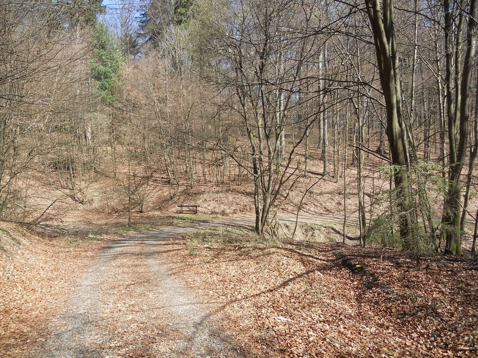
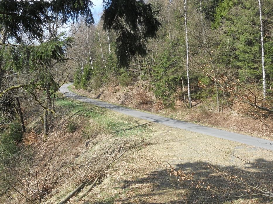
Galerie du tour


Carte du tour et altitude
Minimum height 276 m
Maximum height 449 m
More about the tour author
|
|
ajdda |
Commentaires

Tracks GPS
Trackpoints-
GPX / Garmin Map Source (gpx) download
-
TCX / Garmin Training Center® (tcx) download
-
CRS / Garmin Training Center® (crs) download
-
Google Earth (kml) download
-
G7ToWin (g7t) download
-
TTQV (trk) download
-
Overlay (ovl) download
-
Fugawi (txt) download
-
Kompass (DAV) Track (tk) download
-
Feuille de tours (pdf) download
-
Original file of the author (gpx) download
More about the tour author
|
|
ajdda |
Add to my favorites
Remove from my favorites
Edit tags
Open track
My score
Rate