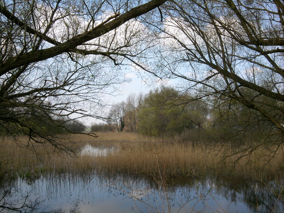
Die S-Bahn brachte mich nach Petershagen Nord - östlich von Berlin. An dem kleinen Graben entlang nach Eggersdorf. Dort rund um den Mühlenteich. Dann am Fredersdorfer Mühlenfließ entlang bis zum Bötzsee. Über Spitzmühle zur Fähre über den Straussee.
Der Teil bis Spitzmühle war sehr schön. Durch den Wald zum Straussee geht's nur noch über Wirtschaftswege. Dafür lohnt die Fahrt mit der Fähre. Es war Sonntag und Strausberg lag ruhig da.
Further information at
http://www.doppeldorf.de/04/05/index.htmlGalerie du tour
Carte du tour et altitude
Minimum height 84 m
Maximum height 169 m
Commentaires

S-Bahn bis Petershagen Nord
Rückfahrt ab Strausberg Stadt - Achtung: Die Bahn fährt nur alle 40 min.
Tracks GPS
Trackpoints-
GPX / Garmin Map Source (gpx) download
-
TCX / Garmin Training Center® (tcx) download
-
CRS / Garmin Training Center® (crs) download
-
Google Earth (kml) download
-
G7ToWin (g7t) download
-
TTQV (trk) download
-
Overlay (ovl) download
-
Fugawi (txt) download
-
Kompass (DAV) Track (tk) download
-
Feuille de tours (pdf) download
-
Original file of the author (gpx) download
Add to my favorites
Remove from my favorites
Edit tags
Open track
My score
Rate


