


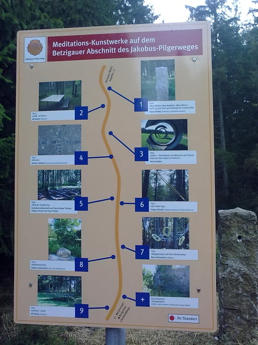
Eine einfache und nette Kurbeltour, die man auch gut mit Kindern machen kann. Für die Kinder ist es durch viele Spielstationen und Infotafeln recht abwechslungsreich. Am Dengelstein können sich Hobbykletterer versuchen. Die ganze Route verläuft auf Asphalt und Schotter. Man kommt auch an schönen Ausflugsgaststätten vorbei.
Galerie du tour
Carte du tour et altitude
Minimum height 699 m
Maximum height 908 m
More about the tour author
|
|
lesopia |
Commentaires

Start vom Kemptener Stadtteil Sankt Mang am Ortsausgang Richtung Durach.
Tracks GPS
Trackpoints-
GPX / Garmin Map Source (gpx) download
-
TCX / Garmin Training Center® (tcx) download
-
CRS / Garmin Training Center® (crs) download
-
Google Earth (kml) download
-
G7ToWin (g7t) download
-
TTQV (trk) download
-
Overlay (ovl) download
-
Fugawi (txt) download
-
Kompass (DAV) Track (tk) download
-
Feuille de tours (pdf) download
-
Original file of the author (gpx) download
More about the tour author
|
|
lesopia |
Add to my favorites
Remove from my favorites
Edit tags
Open track
My score
Rate