Login

Login oublié ?

Cookies have to be accepted!
Your browser's cookie functionality is disabled. Please enable this functionality.

Not a member yet?

Register now
Login

Available for registred users only

Log in to use this feature.

Login oublié ?

Cookies have to be accepted!
Your browser's cookie functionality is disabled. Please enable this functionality.

Not a member yet?

Register now
Filter
Catégories
Advanced filters
  • Longueur (km)
  • Altimètre
Enregistrer le filtre Reset filter

TrackRank

QRCode

Technical data

Longueur96,8 km Altimètre640 m Way down623 m Durée05:45 h:m Date12.04.2012
Evaluations Author User Paysage Aspect amusement Condition Technique

Statistiques

219 Vues Evaluations 12 Téléchargements Moyenne
Rate
  • Feuille de tours
  • Arrivée
  • Téléchargements

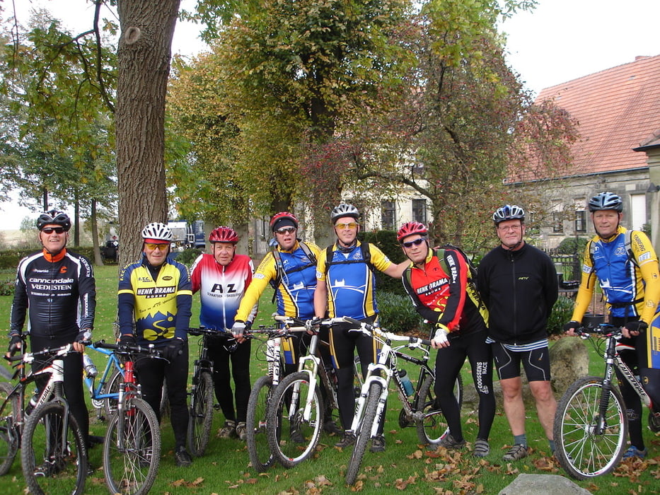
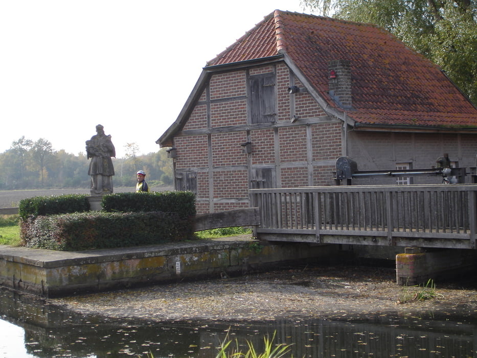
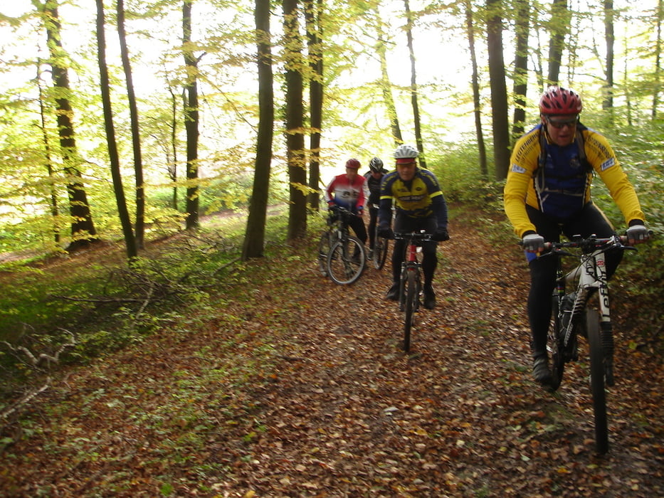
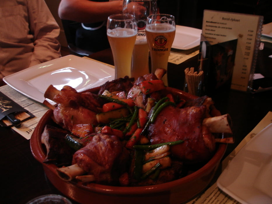
Mit dem Zug von Enschede nach Haeger bei Muenster. Die erste 25 Km viel Asfalt, dann kommen die Baumberge, eine steile Hang nach Restaurant Leopoldshohe (Kaffee und Kuchen), ueber die Waldpfaeden und Sandwegen von den Baumberge mit schoenen Ausssichten nach dass Schloss Darfeld, schoene Strecke nach dass Staedtchen Horstmar (Baecker hat den Laden von 12:00 - 14:00 geschlossen) dann folgen einige Steigungen. Kaffee und Kuchen bei K & K in Schoeppingen. Nach Nienborg (Kaffee und Kuchen). Entlang der Dinkel nach Gronau und Lonnneker. Schweinehaxe essen und Bier trinken bei Sprakel !


Galerie du tour

Carte du tour et altitude

  • Open Street Map
  • Google
Minimum height 23 m Maximum height 195 m Vue de détail

More about the tour author

michgorius
Member since 2012

Send private message

Commentaires

michgorius on 12.04.2012

mountainbike Munster-Lonneker

sehr schoene mountainbiketour ab Bahnstation Munster-Haeger nach Gronau. Haeger - Baumerge (Leopoldshohe)- Schloss Darfeld - Horstmar - Schoeppingen - Nienborg -Epe - Gronau (sehe auch www.wikiloc.com suche "Sprakel Lonneker"

Tracks GPS

Trackpoints
  • GPX / Garmin Map Source (gpx) download
  • TCX / Garmin Training Center® (tcx) download
  • CRS / Garmin Training Center® (crs) download
  • Google Earth (kml) download
  • G7ToWin (g7t) download
  • TTQV (trk) download
  • Overlay (ovl) download
  • Fugawi (txt) download
  • Kompass (DAV) Track (tk) download
  • Feuille de tours (pdf) download
  • Original file of the author (gpx) download

More about the tour author

michgorius
Member since 2012

Send private message
Share track
Add to my favorites
Remove from my favorites
Edit tags
My score
Rate
Tour: sprakelschweinehaxetour
Cat.: Mountainbike
Longueur: 96,8 km
Evaluated on:
Durée:
Day(s)
Hour(s)
Minute(s)
Evaluation: Paysage Aspect amusement Condition Technique