


Wunderschöne abwechslungsreiche Tour. Stellenweis Steile Teileabschnitte.
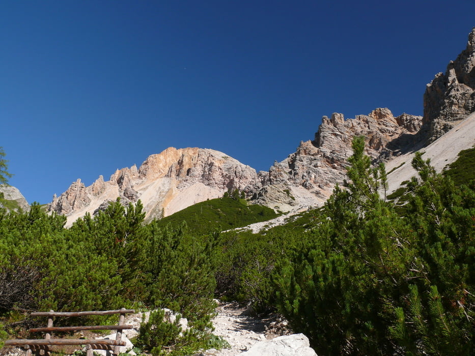
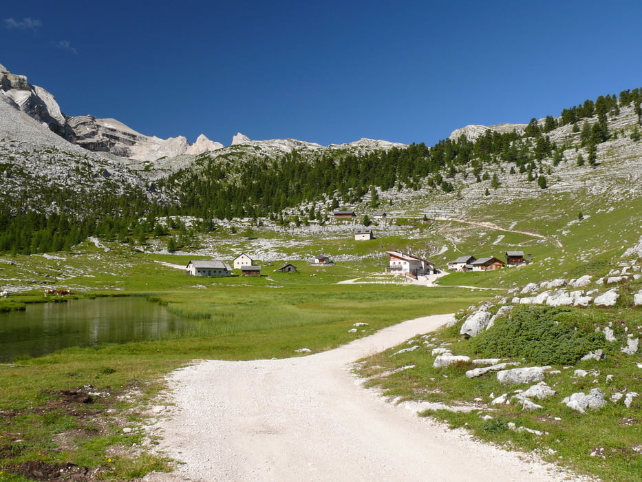
Die Wanderung führt vom Parkplatz (Kostenpflichtig) der Pederühütte über die Lavarellahütte zur Hochebene der Kreuzkofel Gruppe. Unterwegs kann man Murmeltiere sehen. Die Wanderung ist wegen ihrer Länge eher für Geübte Wanderer zu Empfehlen. Von der Kreuzkofelscharte hat man einen herrlichen Blick.
www.pederue.it/de/berggasthaus-pederue.html
Galerie du tour

Carte du tour et altitude
Minimum height 1538 m
Maximum height 2621 m
More about the tour author

|
Commentaires

Von St. Vigil in das Rautal fahren. Am Ende ist der Parkplatz der Pederühütte.
Tracks GPS
Trackpoints-
GPX / Garmin Map Source (gpx) download
-
TCX / Garmin Training Center® (tcx) download
-
CRS / Garmin Training Center® (crs) download
-
Google Earth (kml) download
-
G7ToWin (g7t) download
-
TTQV (trk) download
-
Overlay (ovl) download
-
Fugawi (txt) download
-
Kompass (DAV) Track (tk) download
-
Feuille de tours (pdf) download
-
Original file of the author (gpx) download
More about the tour author
|
|
Add to my favorites
Remove from my favorites
Edit tags
Open track
My score
Rate