Login

Login oublié ?

Cookies have to be accepted!
Your browser's cookie functionality is disabled. Please enable this functionality.

Not a member yet?

Register now
Login

Available for registred users only

Log in to use this feature.

Login oublié ?

Cookies have to be accepted!
Your browser's cookie functionality is disabled. Please enable this functionality.

Not a member yet?

Register now
Filter
Catégories
Advanced filters
  • Longueur (km)
  • Altimètre
Enregistrer le filtre Reset filter

TrackRank

QRCode

Technical data

Longueur11,6 km Altimètre229 m Way down245 m Durée02:30 h:m Date24.04.2012
Evaluations Author Paysage Aspect amusement Condition Technique

Statistiques

854 Vues Evaluations 65 Téléchargements Moyenne
Rate
  • Feuille de tours
  • Arrivée
  • Téléchargements

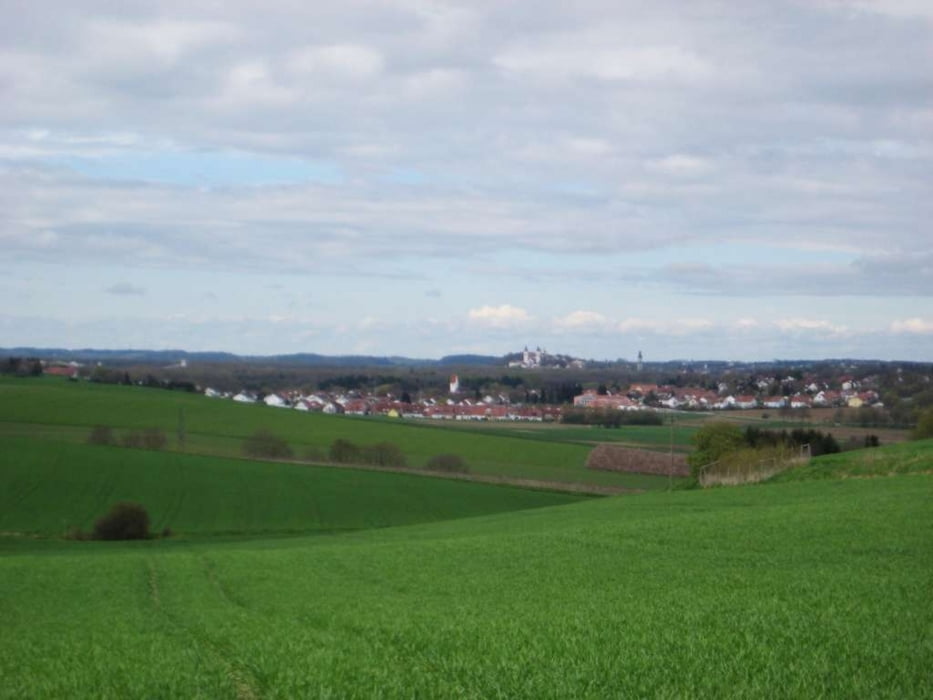
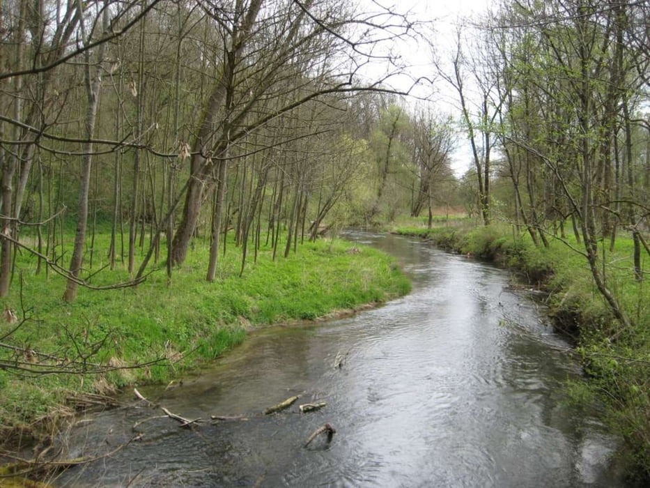
Vom Marzlinger Rathaus (Parkplatz) geht es auf Feld- und Waldwegen nach Unterberghausen, dann auf Nebenstraßen über Schmidhausen nach Hangenham. Am Hochufer wandern wir weiter nach Rudlfing, gehen hinunter zur Isar und an der wieder zurück nach Marzling.

Auf dieser Tour gibt es, bei halbwegs guter Sicht, schöne Blicke über das Erdinger Moos mit den Alpen im Hintergrund.

Vom Bahnhof aus sind es ca. 500 m zum Rathaus.

Galerie du tour

Carte du tour et altitude

  • Open Street Map
  • Google
Minimum height 400 m Maximum height 490 m Vue de détail

More about the tour author

freisnger
Member since 2011

Send private message

Commentaires

Tracks GPS

Trackpoints
  • GPX / Garmin Map Source (gpx) download
  • TCX / Garmin Training Center® (tcx) download
  • CRS / Garmin Training Center® (crs) download
  • Google Earth (kml) download
  • G7ToWin (g7t) download
  • TTQV (trk) download
  • Overlay (ovl) download
  • Fugawi (txt) download
  • Kompass (DAV) Track (tk) download
  • Feuille de tours (pdf) download
  • Original file of the author (gpx) download

More about the tour author

freisnger
Member since 2011

Send private message
Share track
Add to my favorites
Remove from my favorites
Edit tags
My score
Rate
Tour: Tour um Marzling
Cat.: Randonnées
Longueur: 11,6 km
Evaluated on:
Durée:
Day(s)
Hour(s)
Minute(s)
Evaluation: Paysage Aspect amusement Condition Technique