Login

Login oublié ?

Cookies have to be accepted!
Your browser's cookie functionality is disabled. Please enable this functionality.

Not a member yet?

Register now
Login

Available for registred users only

Log in to use this feature.

Login oublié ?

Cookies have to be accepted!
Your browser's cookie functionality is disabled. Please enable this functionality.

Not a member yet?

Register now
Filter
Catégories
Advanced filters
  • Longueur (km)
  • Altimètre
Enregistrer le filtre Reset filter

TrackRank

QRCode

Technical data

Longueur10,0 km Altimètre972 m Way down919 m Durée02:00 h:m Date30.04.2012
Evaluations Author Paysage Aspect amusement Condition Technique

Statistiques

439 Vues Evaluations 34 Téléchargements Moyenne
Rate
  • Feuille de tours
  • Arrivée
  • Téléchargements

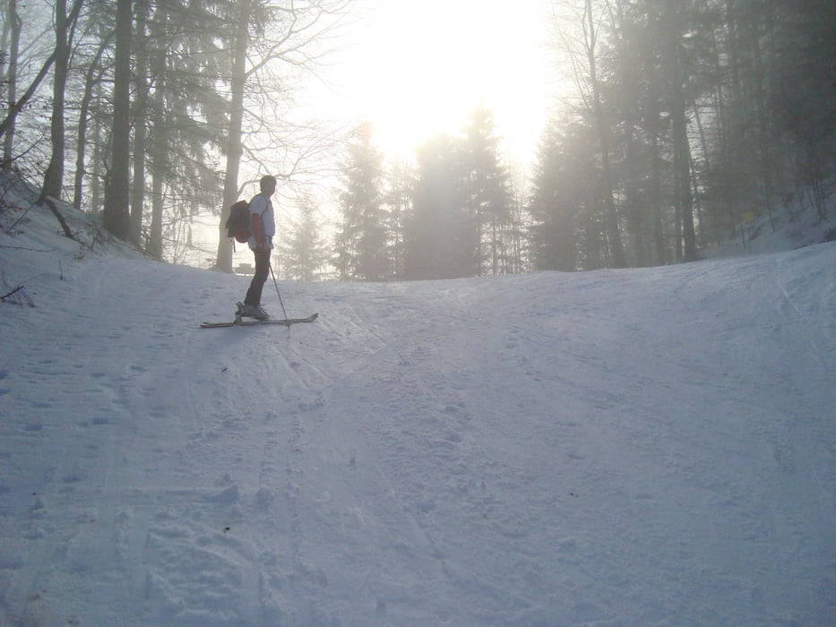
Ausgangspunkt ist der Schlepplift Laim links einen Hang hinauffahren und das Auto auf der Strasse neben dem Lift parken. Keine schwierige  Tour und meist eine auf der Skipiste führende Strecke. Es führen immer wieder gespurte Wege in den Wald hinein die die Tour ein bischen interessanter machen. Trotzdem ein super Trainingsberg mit super Aussicht am Gipfel!!!  Abfahrt bis ins Tal auf Piste.


mehr Fotos:   seppdepp.heim.at


Galerie du tour

Carte du tour et altitude

  • Open Street Map
  • Google
Minimum height 599 m Maximum height 1535 m Vue de détail

More about the tour author

Atzbach
Member since 2009

Send private message

Commentaires

Tracks GPS

Trackpoints
  • GPX / Garmin Map Source (gpx) download
  • TCX / Garmin Training Center® (tcx) download
  • CRS / Garmin Training Center® (crs) download
  • Google Earth (kml) download
  • G7ToWin (g7t) download
  • TTQV (trk) download
  • Overlay (ovl) download
  • Fugawi (txt) download
  • Kompass (DAV) Track (tk) download
  • Feuille de tours (pdf) download
  • Original file of the author (gpx) download

More about the tour author

Atzbach
Member since 2009

Send private message
Share track
Add to my favorites
Remove from my favorites
Edit tags
My score
Rate
Tour: Zwölferhorn 1522m
Cat.: Ski touring
Longueur: 10,0 km
Evaluated on:
Durée:
Day(s)
Hour(s)
Minute(s)
Evaluation: Paysage Aspect amusement Condition Technique