Login

Login oublié ?

Cookies have to be accepted!
Your browser's cookie functionality is disabled. Please enable this functionality.

Not a member yet?

Register now
Login

Available for registred users only

Log in to use this feature.

Login oublié ?

Cookies have to be accepted!
Your browser's cookie functionality is disabled. Please enable this functionality.

Not a member yet?

Register now
Filter
Catégories
Advanced filters
  • Longueur (km)
  • Altimètre
Enregistrer le filtre Reset filter

TrackRank

QRCode

Technical data

Longueur13,8 km Altimètre1148 m Way down364 m Durée05:30 h:m Date30.04.2012
Evaluations Author Paysage Aspect amusement Condition Technique

Statistiques

221 Vues Evaluations 33 Téléchargements Moyenne
Rate
  • Feuille de tours
  • Arrivée
  • Téléchargements
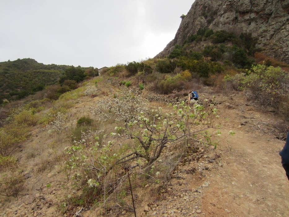
Wir wandern von Vallehermoso Richtung El Carmen, einer typischen Bauernsiedlung im Norden La Gomeras. Anschließend führt uns der Weg durch den Wald und früher bewirtschaftete Terrassenfelder übe El Cerado, ein Dorf mit alter Töpfertradition, nach Chipude.

Galerie du tour

Carte du tour et altitude

  • Open Street Map
  • Google
Minimum height 302 m Maximum height 1097 m Vue de détail

More about the tour author

Meckerfuchs
Member since 2010

Send private message

Commentaires

Tracks GPS

Trackpoints
  • GPX / Garmin Map Source (gpx) download
  • TCX / Garmin Training Center® (tcx) download
  • CRS / Garmin Training Center® (crs) download
  • Google Earth (kml) download
  • G7ToWin (g7t) download
  • TTQV (trk) download
  • Overlay (ovl) download
  • Fugawi (txt) download
  • Kompass (DAV) Track (tk) download
  • Feuille de tours (pdf) download
  • Original file of the author (gpx) download

More about the tour author

Meckerfuchs
Member since 2010

Send private message
Share track
Add to my favorites
Remove from my favorites
Edit tags
My score
Rate
Tour: Vallehermoso-El Cerado-Chipude
Cat.: Randonnées
Longueur: 13,8 km
Evaluated on:
Durée:
Day(s)
Hour(s)
Minute(s)
Evaluation: Paysage Aspect amusement Condition Technique