Login

Login oublié ?

Cookies have to be accepted!
Your browser's cookie functionality is disabled. Please enable this functionality.

Not a member yet?

Register now
Login

Available for registred users only

Log in to use this feature.

Login oublié ?

Cookies have to be accepted!
Your browser's cookie functionality is disabled. Please enable this functionality.

Not a member yet?

Register now
Filter
Catégories
Advanced filters
  • Longueur (km)
  • Altimètre
Enregistrer le filtre Reset filter

TrackRank

QRCode

Technical data

Longueur15,2 km Altimètre437 m Way down384 m Durée04:00 h:m Date01.05.2012
Evaluations Author Paysage Aspect amusement Condition Technique

Statistiques

370 Vues Evaluations 100 Téléchargements Moyenne
Rate
  • Feuille de tours
  • Arrivée
  • Téléchargements

01.05.2012

eine schöne Rundtour mit herrlichen Ausblicken auf den Bodensee, Deggenhausertal und auf den Höchsten.
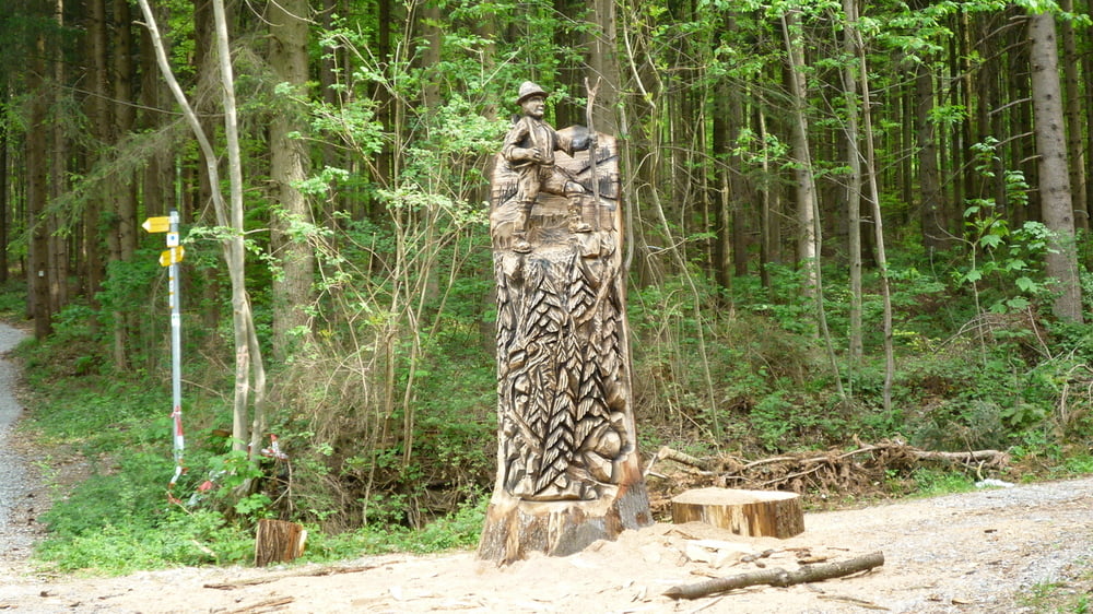
Galerie du tour

Carte du tour et altitude

  • Open Street Map
  • Google
Minimum height 444 m Maximum height 719 m Vue de détail

More about the tour author

plattfuss
Member since 2007

Send private message

Commentaires

mit dem PKW auf der B33 nach Steibensteg und dann nach Mögenweiler auf den Parkplatz Vogelsang. Von hier startet dann die Tour.

Tracks GPS

Trackpoints
  • GPX / Garmin Map Source (gpx) download
  • TCX / Garmin Training Center® (tcx) download
  • CRS / Garmin Training Center® (crs) download
  • Google Earth (kml) download
  • G7ToWin (g7t) download
  • TTQV (trk) download
  • Overlay (ovl) download
  • Fugawi (txt) download
  • Kompass (DAV) Track (tk) download
  • Feuille de tours (pdf) download
  • Original file of the author (gpx) download

More about the tour author

plattfuss
Member since 2007

Send private message
Share track
Add to my favorites
Remove from my favorites
Edit tags
My score
Rate
Tour: GuckinsLand oder LandGänge
Cat.: Randonnées
Longueur: 15,2 km
Evaluated on:
Durée:
Day(s)
Hour(s)
Minute(s)
Evaluation: Paysage Aspect amusement Condition Technique