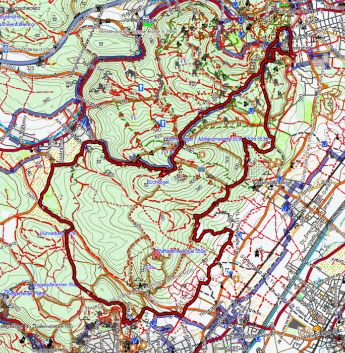
Die Strecke ist für das Biken nach der Arbeit nicht schlecht. Spassig ist vorallem das kurze Bergabstück nach der Veiglhütte durch die Weingärten.
Mit etwas Druck auf den Pedalen schafft man es in ca. 2 Stunden.
Belag: Waldboden, Asphalt, Schotter
Strecke: Goldene Stiege - Breite Föhre - Richardshof - Veiglhütte - Pfaffstättnerblick - Rudolfshof - Rotes Kreuz Gaaden - Sportzentrum Gaaden - Anningerhaus - Breite Föhre - Goldene Stiege
Further information at
http://team-borat.at/Galerie du tour
Carte du tour et altitude
Minimum height 248 m
Maximum height 651 m
Commentaires

Tracks GPS
Trackpoints-
GPX / Garmin Map Source (gpx) download
-
TCX / Garmin Training Center® (tcx) download
-
CRS / Garmin Training Center® (crs) download
-
Google Earth (kml) download
-
G7ToWin (g7t) download
-
TTQV (trk) download
-
Overlay (ovl) download
-
Fugawi (txt) download
-
Kompass (DAV) Track (tk) download
-
Feuille de tours (pdf) download
-
Original file of the author (gpx) download
Add to my favorites
Remove from my favorites
Edit tags
Open track
My score
Rate


