


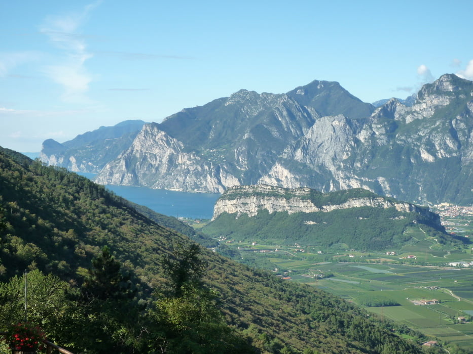
Die Tour führt von Arco die Monte Velo Straße hoch nach S.Barbara.Hier geht es links ab und sehr schnell bergauf auf einen Pfad der nicht für jeden zu fahren ist..Die Tour führt nun hinunter zum Passo Bordola mit Rasthaus und weiter hoch über der Etsch entlang zur Malga Somator mit herrlicher Aussicht auf das Etschtal.Die Hütte kann im Sommer zur Einkehr genutzt werden .Wir fahren nun auf und ab,zum teil auf steinigem Trail.Eine steile Betonrampe bringt uns noch mal zum Schwitzen. Nun folgt noch eine lange Abfahrt hinunter nach Nago.Auf einem Schotterweg unterhalb der Hauptstraße geht es weiter.Wir überqueren nun noch die Straße und fahren weiter auf Schotter nach Arco.
Galerie du tour


Carte du tour et altitude
Minimum height 75 m
Maximum height 1322 m
More about the tour author
|
|
baumgarten |
Commentaires

Tracks GPS
Trackpoints-
GPX / Garmin Map Source (gpx) download
-
TCX / Garmin Training Center® (tcx) download
-
CRS / Garmin Training Center® (crs) download
-
Google Earth (kml) download
-
G7ToWin (g7t) download
-
TTQV (trk) download
-
Overlay (ovl) download
-
Fugawi (txt) download
-
Kompass (DAV) Track (tk) download
-
Feuille de tours (pdf) download
-
Original file of the author (gpx) download
More about the tour author
|
|
baumgarten |
Add to my favorites
Remove from my favorites
Edit tags
Open track
My score
Rate