


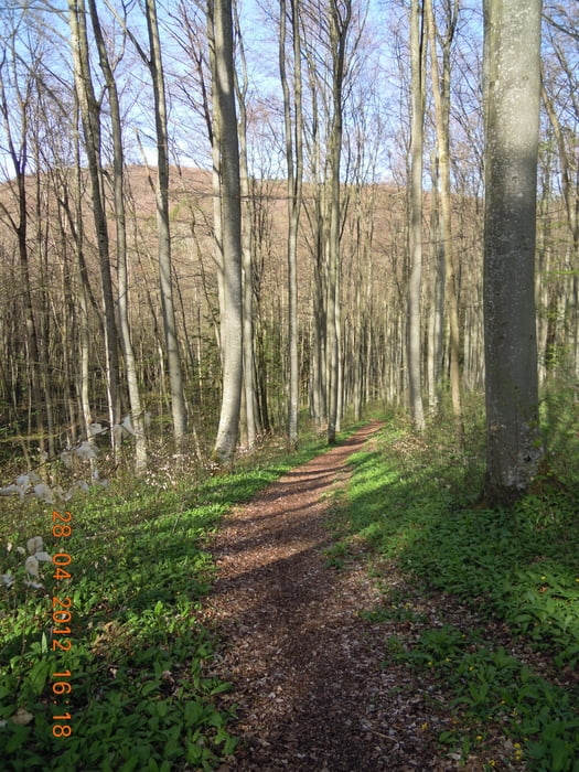
Schöne Tour, flowige Trails, kackige Anstiege und bella Vista = von allem und für alle etwas dabei.
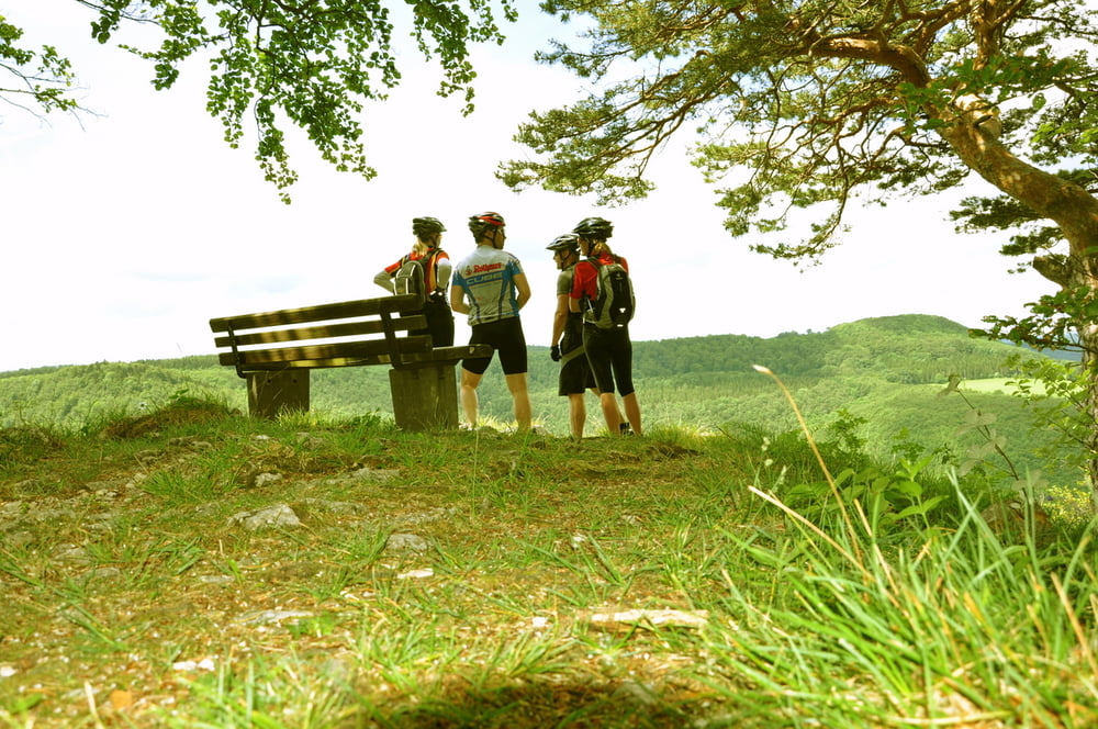
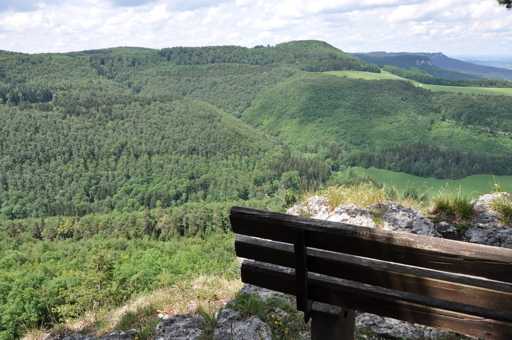
Die Tour führt zum Ochsenberg (dies kann auch der Startort/Einstieg sein) , über verschiedene Trails nach Margretshausen, von Lautlingen aus folgt der sportliche Anstieg unterhalb vom Obererberg (Nähe Tierberg) nach Meßstetten,wo es dann über einen sehr genialen Trail am Traufgang (super Ausblicke z. B. am Torfelsen) und einer Abfahrt bis oberhalb von Albstadt-Ebingen. Ein letzter kurzer Trail beim alten Friedhof wirft uns in Ebingen aus.
Einkehrmöglichkeiten:
Gaststätte Ochsenberg
Eiscafe Venezia (Fußgängerzone Ebingen)
Intermezzo uvm (Fußgängerzone Ebingen)
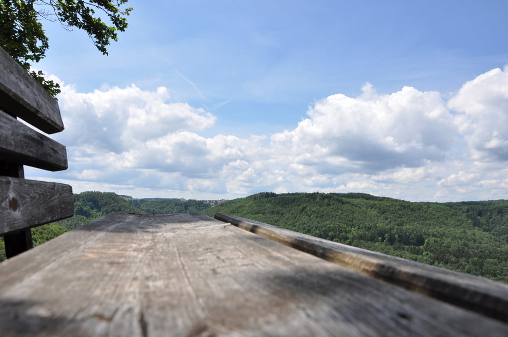
Galerie du tour
Carte du tour et altitude
Minimum height 675 m
Maximum height 959 m
More about the tour author
|
|
t-runner |
Commentaires

Über die B27 / B463 nach Albstadt
Parken:
- am Ochsenberg (hier der Beschilderung Parken/Traufgang folgen ab KINO Albstadt)
- Industriegebiet nähe Fa. Steinmeyer
Tracks GPS
Trackpoints-
GPX / Garmin Map Source (gpx) download
-
TCX / Garmin Training Center® (tcx) download
-
CRS / Garmin Training Center® (crs) download
-
Google Earth (kml) download
-
G7ToWin (g7t) download
-
TTQV (trk) download
-
Overlay (ovl) download
-
Fugawi (txt) download
-
Kompass (DAV) Track (tk) download
-
Feuille de tours (pdf) download
-
Original file of the author (gpx) download
More about the tour author
|
|
t-runner |
Add to my favorites
Remove from my favorites
Edit tags
Open track
My score
Rate