Login

Login oublié ?

Cookies have to be accepted!
Your browser's cookie functionality is disabled. Please enable this functionality.

Not a member yet?

Register now
Login

Available for registred users only

Log in to use this feature.

Login oublié ?

Cookies have to be accepted!
Your browser's cookie functionality is disabled. Please enable this functionality.

Not a member yet?

Register now
Filter
Catégories
Advanced filters
  • Longueur (km)
  • Altimètre
Enregistrer le filtre Reset filter

TrackRank

QRCode

Technical data

Longueur9,4 km Altimètre323 m Way down283 m Durée02:50 h:m Date13.05.2012
Evaluations Author User Paysage Aspect amusement Condition Technique

Statistiques

762 Vues 3 Evaluations 85 Téléchargements 4.00 Moyenne
Rate
  • Feuille de tours
  • Arrivée
  • Téléchargements

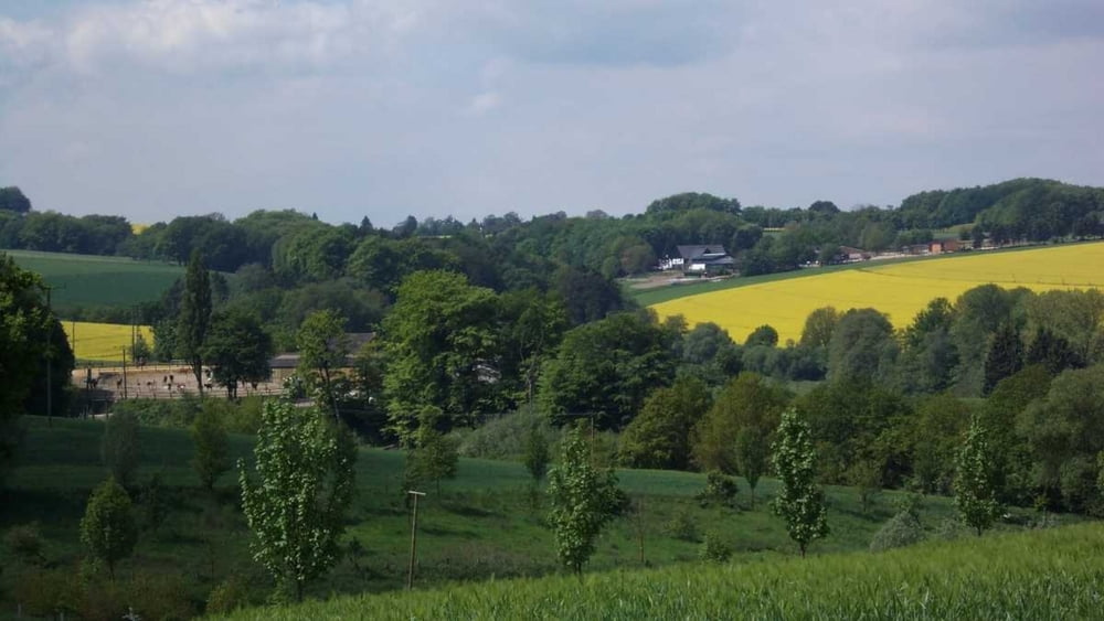
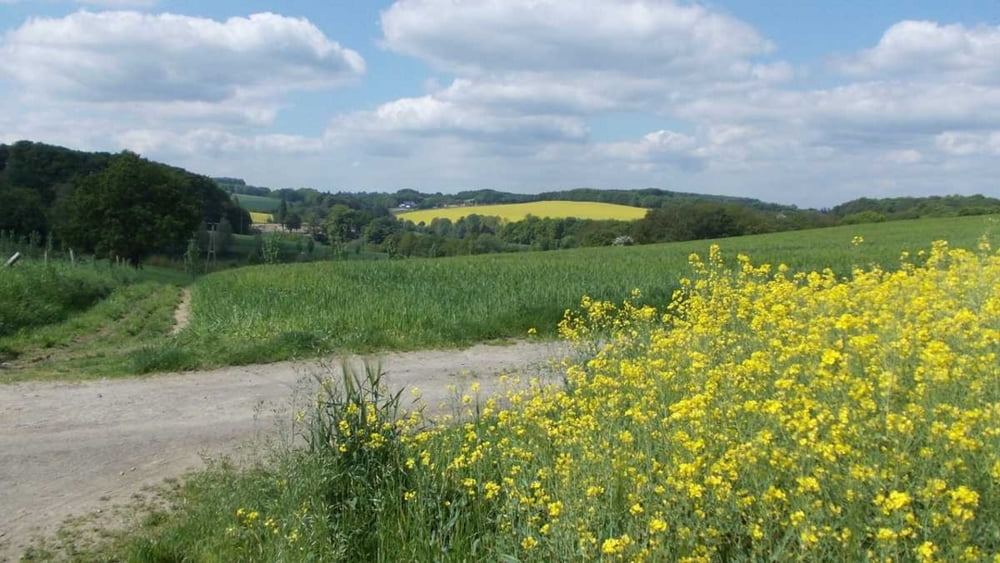
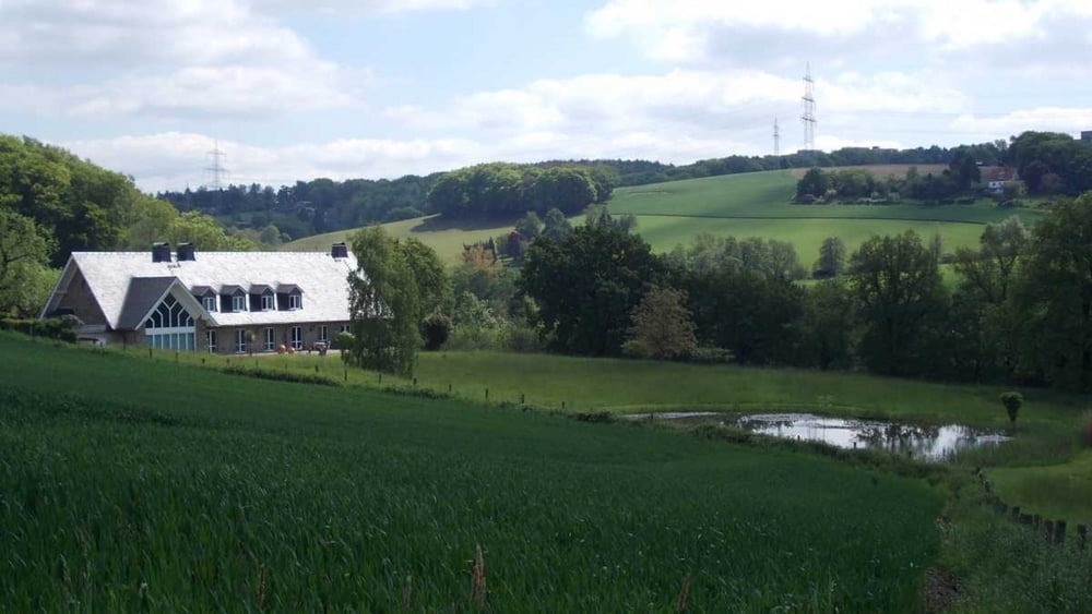
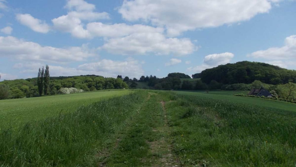
Rundwanderung durch eine herrliche Lanschaft im Süden Essen an der Grenze zu Velbert und Heiligenhaus.

Die Strecke führt auf sehr unterschiedlichen Wegen um die Ruhrtal-Klinik herum.


Further information at

http://uerigefan.oyla.de

Galerie du tour

Carte du tour et altitude

  • Open Street Map
  • Google
Minimum height 79 m Maximum height 214 m Vue de détail

More about the tour author

Uerigefan
Member since 2009

Send private message

Commentaires

Auto Navi: z.B. Geilinghausweg 2, 45239 Essen

Es gibt dort allerdings nicht viele Parkmöglichkeiten, Sie können aber auf den Parkplatz der Klinik ausweichen.

Tracks GPS

Trackpoints
  • GPX / Garmin Map Source (gpx) download
  • TCX / Garmin Training Center® (tcx) download
  • CRS / Garmin Training Center® (crs) download
  • Google Earth (kml) download
  • G7ToWin (g7t) download
  • TTQV (trk) download
  • Overlay (ovl) download
  • Fugawi (txt) download
  • Kompass (DAV) Track (tk) download
  • Feuille de tours (pdf) download
  • Original file of the author (gpx) download

More about the tour author

Uerigefan
Member since 2009

Send private message
Share track
Add to my favorites
Remove from my favorites
Edit tags
My score
Rate
Tour: Um die Ruhrtalklinik in Essen
Cat.: Randonnées
Longueur: 9,4 km
Evaluated on:
Durée:
Day(s)
Hour(s)
Minute(s)
Evaluation: Paysage Aspect amusement Condition Technique