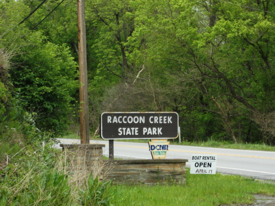
Round trip on the Camp Trail and parts of the Heritage Trails, starting at the parking lot at the "Upper Lake".
Galerie du tour
Carte du tour et altitude
Minimum height 286 m
Maximum height 387 m
Commentaires

From Pittsburgh via US376, passing the airport and via US30 to the Wildflower Reserve, turning left into the Raccoon Park Road to the Park Office
Tracks GPS
Trackpoints-
GPX / Garmin Map Source (gpx) download
-
TCX / Garmin Training Center® (tcx) download
-
CRS / Garmin Training Center® (crs) download
-
Google Earth (kml) download
-
G7ToWin (g7t) download
-
TTQV (trk) download
-
Overlay (ovl) download
-
Fugawi (txt) download
-
Kompass (DAV) Track (tk) download
-
Feuille de tours (pdf) download
-
Original file of the author (gpx) download
Add to my favorites
Remove from my favorites
Edit tags
Open track
My score
Rate


