Login

Zapomniałeś swój login?

Cookies have to be accepted!
Your browser's cookie functionality is disabled. Please enable this functionality.

Not a member yet?

Register now
Login

Available for registred users only

Log in to use this feature.

Zapomniałeś swój login?

Cookies have to be accepted!
Your browser's cookie functionality is disabled. Please enable this functionality.

Not a member yet?

Register now
Filter
Kategorie
Advanced filters
  • Długość (km)
  • Wysokość
Zapisz filtr Reset filter

TrackRank

QRCode

Technical data

Długość10,5 km Wysokość25 m Way down18 m Czas trwania00:00 h:m Data15.05.2012
Oceny Author User Krajobraz Czynnik zadowolenia Kondycja Technika

Statystyka

792 Widoki 1 Ocena 38 Downloads / Pliki do pobrania 5.00 Przeciętnie
Rate
  • Karta trasy
  • Dojazd
  • Downloads / Pliki do pobrania
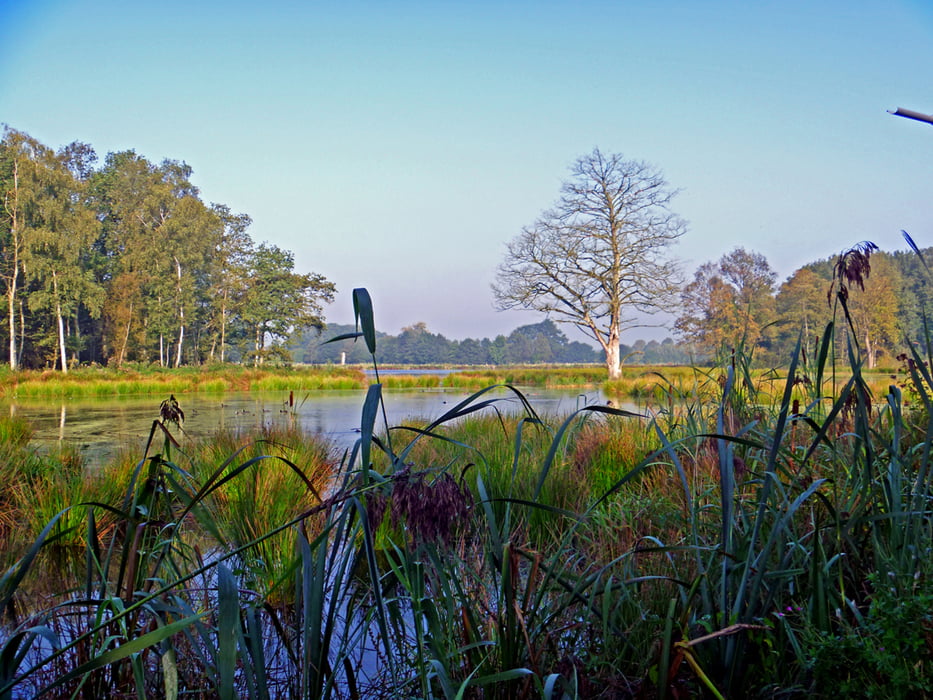
Landschaftlich wunderschöne Strecke am De Wittsee und an der Nette entlang zu den Krickenbecker Seen und im Bogen zurück zum Ausgangspunkt.

Galeria trasy

Mapa trasy i profil wysokości

  • Open Street Map
  • Google
Minimum height 19 m Maximum height 36 m Widok szczegółowy

More about the tour author

hadihe
Member since 2012

Send private message

Komentarze

A 61 Richtung Venlo - Ausfahrt Leuth (Ausfahrt 2) rechtsab auf der B221 bis zur 1. Ampel - wieder rechts nach Leuth hinein bis zur Beschilderung rechts ab zum De Wittsee (Buscher Weg) - der Beschilderung folgend und linksab "Am Wittsee" - nach ca. 400 m liegen links große Wanderparkplätze von denen aus die Tour beginnt

GPS tracks

Trackpoints
  • GPX / Garmin Map Source (gpx) download
  • TCX / Garmin Training Center® (tcx) download
  • CRS / Garmin Training Center® (crs) download
  • Google Earth (kml) download
  • G7ToWin (g7t) download
  • TTQV (trk) download
  • Overlay (ovl) download
  • Fugawi (txt) download
  • Kompass (DAV) Track (tk) download
  • Karta trasy (pdf) download
  • Original file of the author (gpx) download

More about the tour author

hadihe
Member since 2012

Send private message
Share track
Add to my favorites
Remove from my favorites
Edit tags
My score
Rate
Trasa: Vom De Wittsee zum Krickenbecker See
Rodzaj: Nordic walking
Długość: 10,5 km
Evaluated on:
Czas trwania:
Day(s)
Hour(s)
Minute(s)
Ocena: Krajobraz Czynnik zadowolenia Kondycja Technika