Login

Zapomniałeś swój login?

Cookies have to be accepted!
Your browser's cookie functionality is disabled. Please enable this functionality.

Not a member yet?

Register now
Login

Available for registred users only

Log in to use this feature.

Zapomniałeś swój login?

Cookies have to be accepted!
Your browser's cookie functionality is disabled. Please enable this functionality.

Not a member yet?

Register now
Filter
Kategorie
Advanced filters
  • Długość (km)
  • Wysokość
Zapisz filtr Reset filter

TrackRank

QRCode

Technical data

Długość19,3 km Wysokość344 m Way down m Czas trwania01:30 h:m Data17.08.2007
Oceny Author Krajobraz Czynnik zadowolenia Kondycja Technika

Statystyka

435 Widoki 1 Ocena 83 Downloads / Pliki do pobrania 5.00 Przeciętnie
Rate
  • Karta trasy
  • Dojazd
  • Downloads / Pliki do pobrania
Nette kleine Runde mit ein paar schönen Pfaden. Die kleinen Wege bei Runkel wird nicht jeder komplett fahren können.
Daten sind nachbearbeitet, deswegen kein Höhenprofil.
Sie hat knapp 350Hm.
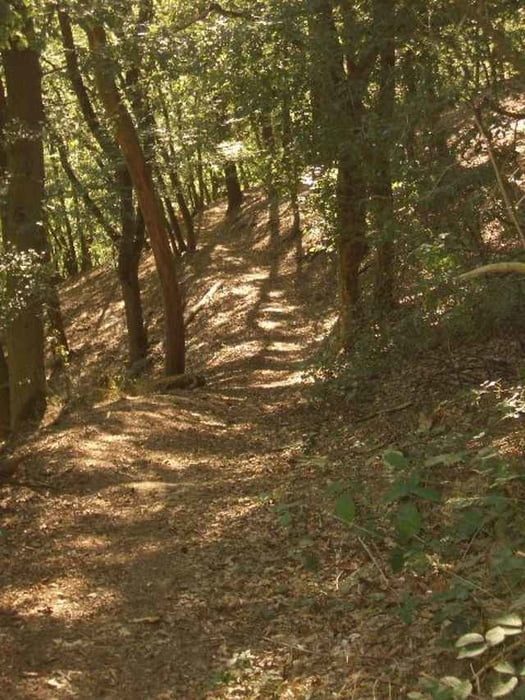
Galeria trasy

Mapa trasy i profil wysokości

  • Open Street Map
  • Google
Minimum height 99999 m Maximum height -99999 m Widok szczegółowy

More about the tour author

Matjeshering

Komentarze

bowt-rad on 21.12.2008

Wintertour

Ich bin mit Anhänger und MTB sowie 2 Hunden diese Runde gefahren und sie war klasse. Die Hunde hatten ihren Spass und ich musste mit den strassen-orientierten Reifen ganz schön pumpen.
Super Tour. Danke
Matjeshering on 29.08.2009

Anhänger

Das ist eine Schlittschuhtour und somit für Anhänger nicht geeignet.
Start an der Radbrücke in Dietkirchen.

GPS tracks

Trackpoints
  • GPX / Garmin Map Source (gpx) download
  • TCX / Garmin Training Center® (tcx) download
  • CRS / Garmin Training Center® (crs) download
  • Google Earth (kml) download
  • G7ToWin (g7t) download
  • TTQV (trk) download
  • Overlay (ovl) download
  • Fugawi (txt) download
  • Kompass (DAV) Track (tk) download
  • Karta trasy (pdf) download
  • Original file of the author (gpx) download

More about the tour author

Matjeshering

Share track
Add to my favorites
Remove from my favorites
Edit tags
My score
Rate
Trasa: LahnKerkerbachtal
Rodzaj: Rower górski (MTB)
Długość: 19,3 km
Evaluated on:
Czas trwania:
Day(s)
Hour(s)
Minute(s)
Ocena: Krajobraz Czynnik zadowolenia Kondycja Technika