Login

Zapomniałeś swój login?

Cookies have to be accepted!
Your browser's cookie functionality is disabled. Please enable this functionality.

Not a member yet?

Register now
Login

Available for registred users only

Log in to use this feature.

Zapomniałeś swój login?

Cookies have to be accepted!
Your browser's cookie functionality is disabled. Please enable this functionality.

Not a member yet?

Register now
Filter
Kategorie
Advanced filters
  • Długość (km)
  • Wysokość
Zapisz filtr Reset filter

TrackRank

QRCode

Technical data

Długość30,3 km Wysokość695 m Way down685 m Czas trwania03:00 h:m Data19.05.2012
Oceny Author Krajobraz Czynnik zadowolenia Kondycja Technika

Statystyka

398 Widoki Oceny 38 Downloads / Pliki do pobrania Przeciętnie
Rate
  • Karta trasy
  • Dojazd
  • Downloads / Pliki do pobrania

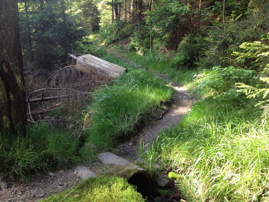
Los geht´s in Goldkronach über Sickenreuth in den Goldkronacher Forst. Auf Forstwegen fährt man bis zu "Täfelein", überquert die Panoramastraße und fährt über einen Winterwanderweg zum Ochsenkopfgipfel.

Ähnlich ist der Rückweg, nur ab dem S-Weg zweigt man natürlich ab und nimmt den schönen Trail noch mit.  Und zum Schluss gibt es noch den Häfnersberg, ein Trail bis in die Ortsmitte.

Viel Spass!

Mapa trasy i profil wysokości

  • Open Street Map
  • Google
Minimum height 441 m Maximum height 1019 m Widok szczegółowy

More about the tour author

berndhuber
Member since 2008

Send private message

Komentarze

A9>Bayreuth nord>Goldkronach

GPS tracks

Trackpoints
  • GPX / Garmin Map Source (gpx) download
  • TCX / Garmin Training Center® (tcx) download
  • CRS / Garmin Training Center® (crs) download
  • Google Earth (kml) download
  • G7ToWin (g7t) download
  • TTQV (trk) download
  • Overlay (ovl) download
  • Fugawi (txt) download
  • Kompass (DAV) Track (tk) download
  • Karta trasy (pdf) download
  • Original file of the author (gpx) download

More about the tour author

berndhuber
Member since 2008

Send private message
Share track
Add to my favorites
Remove from my favorites
Edit tags
My score
Rate
Trasa: Goldkronach>Ochsenkopf
Rodzaj: Rower górski (MTB)
Długość: 30,3 km
Evaluated on:
Czas trwania:
Day(s)
Hour(s)
Minute(s)
Ocena: Krajobraz Czynnik zadowolenia Kondycja Technika