


Zuerst am Teltowkanal östlich bis zur Autobahn. Danach auf dem Berliner Mauerweg weiter.
Die Abweichungen vom Berliner Mauerweg könnte ich jetzt als freiwillige Schwenks deklarieren, aber ich wollte eigentlich schon möglichst auf dem Mauerweg bleiben. Weitgehend hat es ja hingehauen.
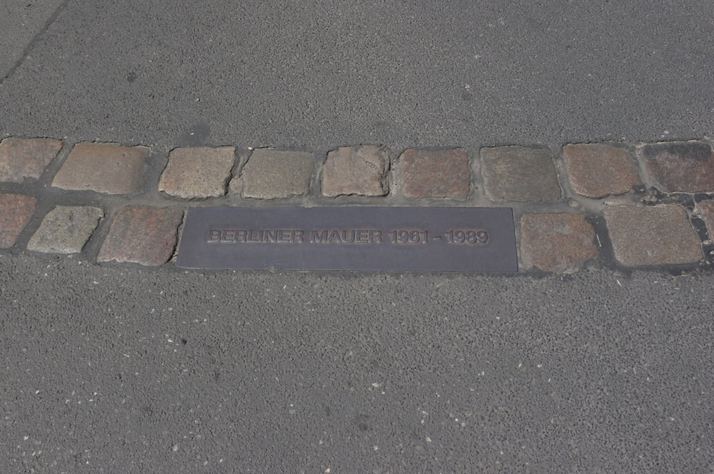
Am Brandenburger Tor schwenkte ich nach Westen ab um bis zum Theodor-Heuss-Platz durchzuradeln.
Danach entschloß ich mich am Olympiastadion vorbeizuschauen um danach über das Postfenn die Havelchaussee entlangzuradeln.
Den Kronprinzessinnenweg wieder nach Norden und dann zurück zum Ausgangspunkt.
Eine Rundfahrt in Berlin mit Allem was Spass macht.
Further information at
https://de.wikipedia.org/wiki/BerlinGaleria trasy


Mapa trasy i profil wysokości
Minimum height 34 m
Maximum height 80 m
More about the tour author
|
|
Pheinz |
Komentarze

Einstieg an beliebiger Stelle.
GPS tracks
Trackpoints-
GPX / Garmin Map Source (gpx) download
-
TCX / Garmin Training Center® (tcx) download
-
CRS / Garmin Training Center® (crs) download
-
Google Earth (kml) download
-
G7ToWin (g7t) download
-
TTQV (trk) download
-
Overlay (ovl) download
-
Fugawi (txt) download
-
Kompass (DAV) Track (tk) download
-
Karta trasy (pdf) download
-
Original file of the author (gpx) download
More about the tour author
|
|
Pheinz |
Add to my favorites
Remove from my favorites
Edit tags
Open track
My score
Rate