Login

Zapomniałeś swój login?

Cookies have to be accepted!
Your browser's cookie functionality is disabled. Please enable this functionality.

Not a member yet?

Register now
Login

Available for registred users only

Log in to use this feature.

Zapomniałeś swój login?

Cookies have to be accepted!
Your browser's cookie functionality is disabled. Please enable this functionality.

Not a member yet?

Register now
Filter
Kategorie
Advanced filters
  • Długość (km)
  • Wysokość
Zapisz filtr Reset filter

TrackRank

QRCode

Technical data

Długość24,7 km Wysokość128 m Way down128 m Czas trwania01:05 h:m Data20.05.2012
Oceny Author Krajobraz Czynnik zadowolenia Kondycja Technika

Statystyka

581 Widoki Oceny 39 Downloads / Pliki do pobrania Przeciętnie
Rate
  • Karta trasy
  • Dojazd
  • Downloads / Pliki do pobrania

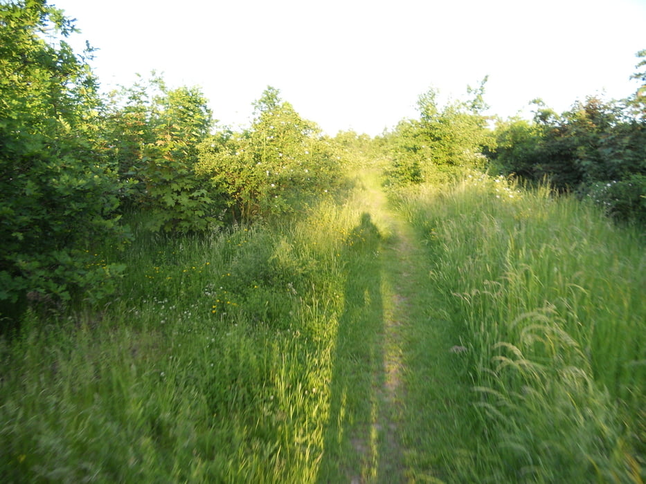
Kleine MTB Strecke im Duisburger Westen.Ist wohl mehr etwas in Richtung abendlicher  Trainigsrunde.Wie oft man die Halden hochfährt,bleibt jedem selber überlassen.

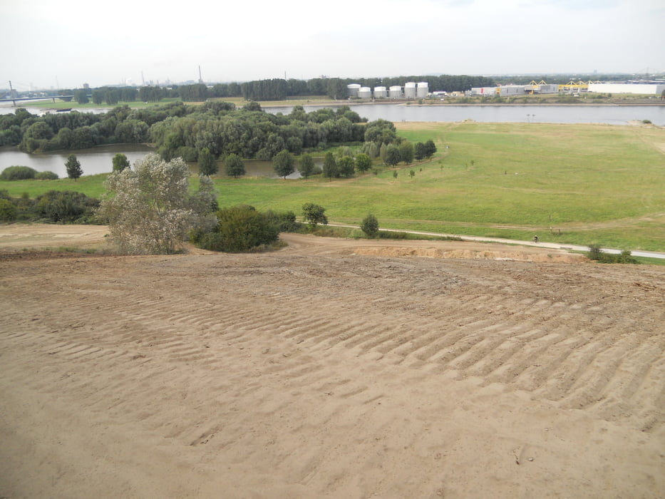
Um die Strecke ein wenig zu erweitern,lässt sich bei trockenem Wetter noch ein Hillclimbing von ca 100m/37HM einpflegen,wobei die angekippte Böschung von rechts nach links steiler wird.Fotos sind beigefügt.


Galeria trasy

Mapa trasy i profil wysokości

  • Open Street Map
  • Google
Minimum height 24 m Maximum height 58 m Widok szczegółowy

More about the tour author

Thomair
Member since 2011

Send private message

Komentarze

Einstieg in die Runde ist an jeder Stelle der Strecke möglich.

GPS tracks

Trackpoints
  • GPX / Garmin Map Source (gpx) download
  • TCX / Garmin Training Center® (tcx) download
  • CRS / Garmin Training Center® (crs) download
  • Google Earth (kml) download
  • G7ToWin (g7t) download
  • TTQV (trk) download
  • Overlay (ovl) download
  • Fugawi (txt) download
  • Kompass (DAV) Track (tk) download
  • Karta trasy (pdf) download
  • Original file of the author (gpx) download

More about the tour author

Thomair
Member since 2011

Send private message
Share track
Add to my favorites
Remove from my favorites
Edit tags
My score
Rate
Trasa: Kleine Haldenrunde
Rodzaj: Rower górski (MTB)
Długość: 24,7 km
Evaluated on:
Czas trwania:
Day(s)
Hour(s)
Minute(s)
Ocena: Krajobraz Czynnik zadowolenia Kondycja Technika