


Die Tour startet am Hotel "Villa Stella" in Torbole.
Alternative Startorte:
- Öffentlicher Parplatz am Kreisel/Tankstelle in Torbole
- Sarca-Radweg bei Mecki
- Arco beim Campingplatz
- DRO
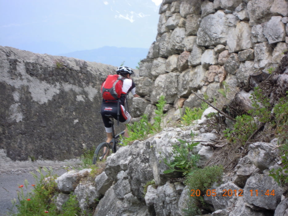
Diese Tour ist eine der leichte Touren am Gardasee, ideal als Einstiegstour am Gardasee um sich an die Gegebenheiten (Klima, Beschaffenheiten des Untergrund...) zu gewöhnen, die meisten Höhenmeter werden auf Asphalt gemacht (das Moserprinzip) und auch etwas Trails, schöne Blicke auf die Marocche und den Lago di Cavedine.
Einkehrmöglichkeiten:
- Arco Stadtmitte
- DRO am Piazza Republica (TIPP: hier gibt´s das beste Eis am Lago)
- Pietramutara
- beim Mecki auf der Rückfahrt
- natürlich auch in Torbole
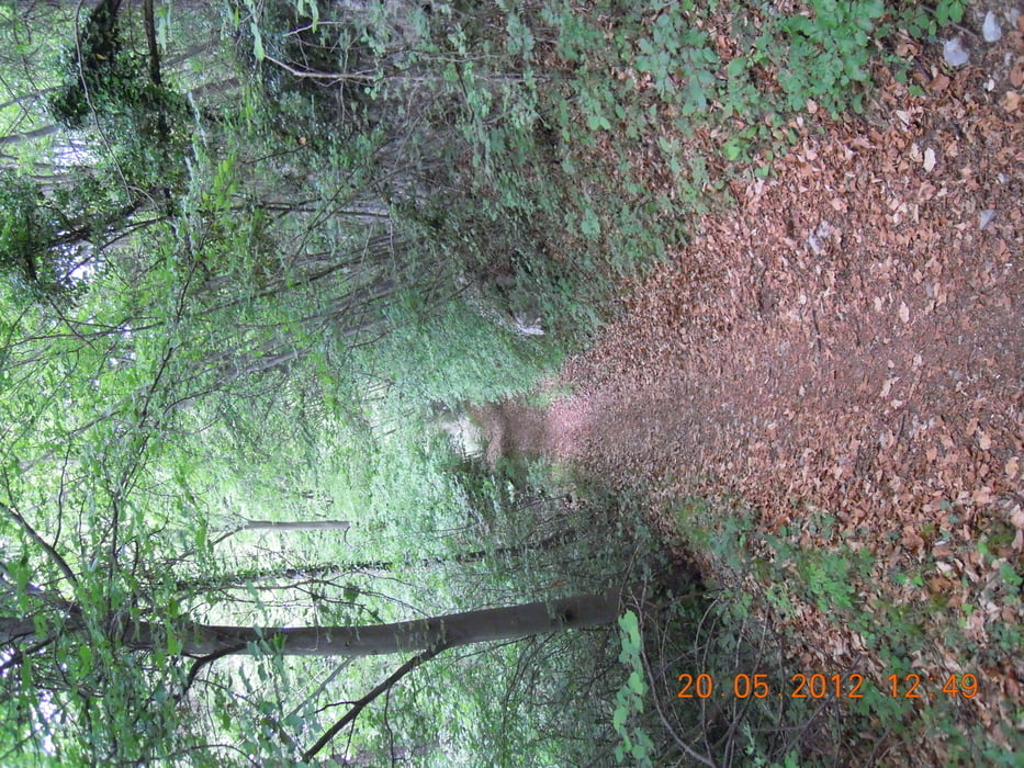
Galeria trasy

Mapa trasy i profil wysokości
Minimum height 54 m
Maximum height 608 m
More about the tour author
|
|
t-runner |
Komentarze

GPS tracks
Trackpoints-
GPX / Garmin Map Source (gpx) download
-
TCX / Garmin Training Center® (tcx) download
-
CRS / Garmin Training Center® (crs) download
-
Google Earth (kml) download
-
G7ToWin (g7t) download
-
TTQV (trk) download
-
Overlay (ovl) download
-
Fugawi (txt) download
-
Kompass (DAV) Track (tk) download
-
Karta trasy (pdf) download
-
Original file of the author (gpx) download
More about the tour author
|
|
t-runner |
Add to my favorites
Remove from my favorites
Edit tags
Open track
My score
Rate