


Dies ist eine Mosertour (Moser11, Tour 11), welche regulär in Sarche startet.
Unsere Tour startet und endet im Hotel "Villa Stella" in Torbole.
Alternative Startorte:
- Öffentlicher Parplatz am Kreisel/Tankstelle in Torbole
- Sarca-Radweg bei Mecki
- Arco beim Campingplatz
- DRO
- Pietramurata
- Sarche ->> hier startet die offizielle Tour
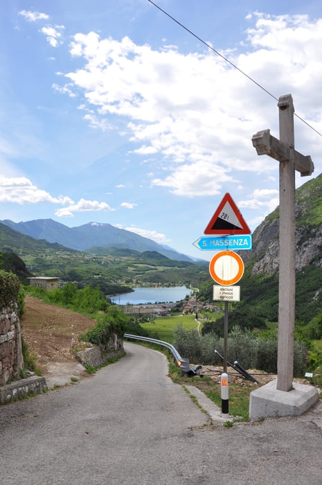
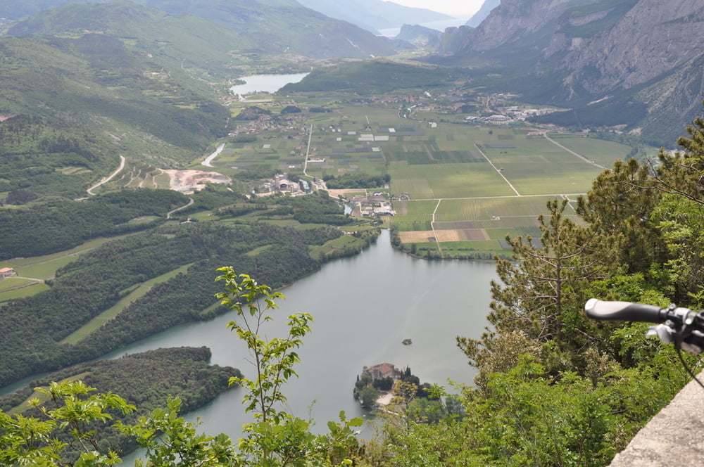
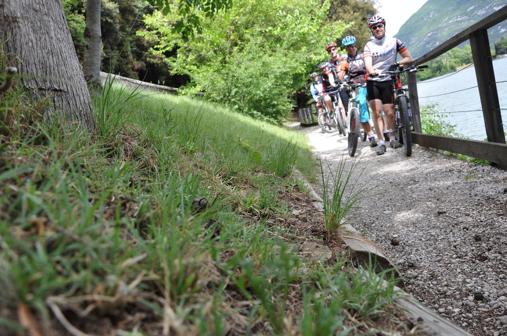
Diese Tour eignet sich als Einstiegstour um noch etwas an der Kondition zu feilen, viel Ausdauer, langes Ein- und Ausrollen entlang des Sarcaradweges, lange Anstiege (gut machbar), 1-2 Rampen mit 20%, allgemein 80% Asphalt (kann ggf. auch mit Trekkingrad gefahren werden), grandiose Aussichten auf das Sarcatal, den Lago Tobolino, die Brenta und bis an den Gardasee... in der Marocche noch etwas Trailsurfen.
Fazit: absoulut lohnenwerte Tour
Einkehrmöglichkeiten:
- Arco Stadtmitte
- DRO am Piazza Republica (TIPP: hier gibt´s das beste Eis am Lago)
- Pietramutara
- beim Mecki auf der Rückfahrt
- natürlich auch in Torbole
Galeria trasy

Mapa trasy i profil wysokości
Minimum height 45 m
Maximum height 774 m
More about the tour author
|
|
t-runner |
Komentarze
GPS tracks
Trackpoints-
GPX / Garmin Map Source (gpx) download
-
TCX / Garmin Training Center® (tcx) download
-
CRS / Garmin Training Center® (crs) download
-
Google Earth (kml) download
-
G7ToWin (g7t) download
-
TTQV (trk) download
-
Overlay (ovl) download
-
Fugawi (txt) download
-
Kompass (DAV) Track (tk) download
-
Karta trasy (pdf) download
-
Original file of the author (gpx) download
More about the tour author
|
|
t-runner |
Add to my favorites
Remove from my favorites
Edit tags
Open track
My score
Rate
dies ist nicht die Mosertour