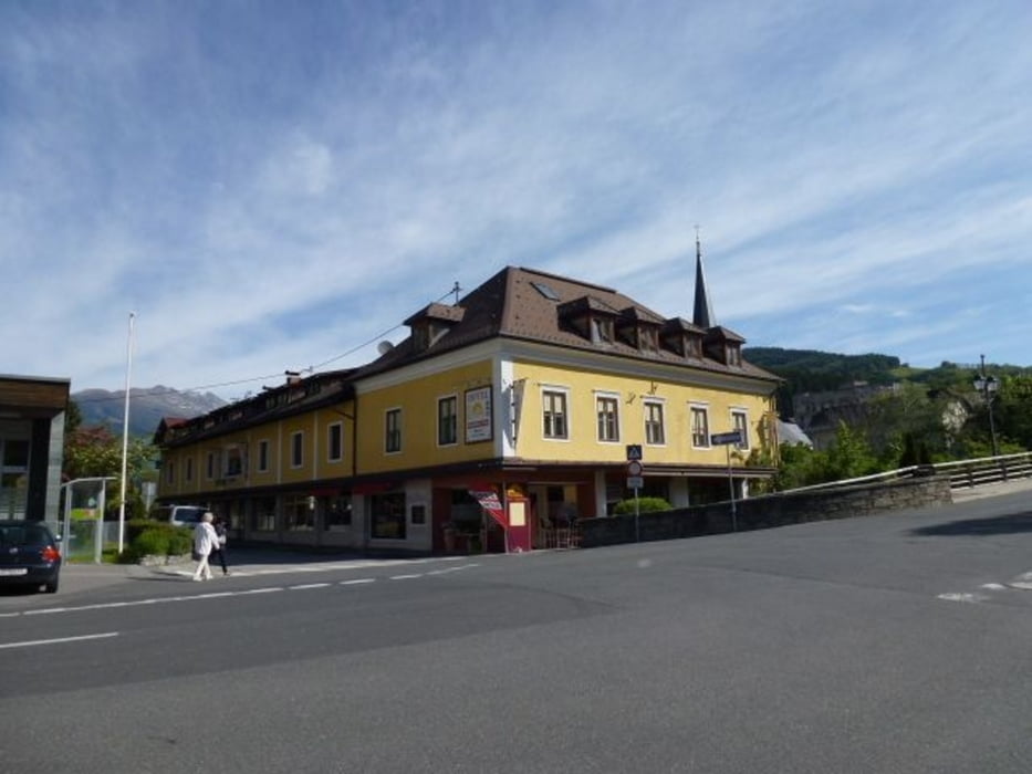
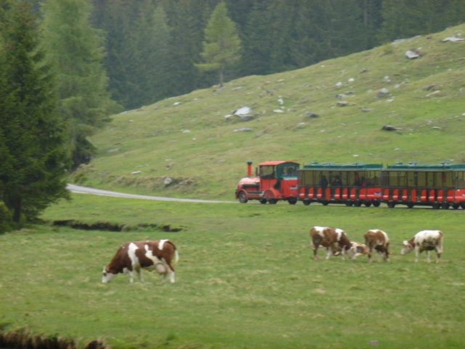
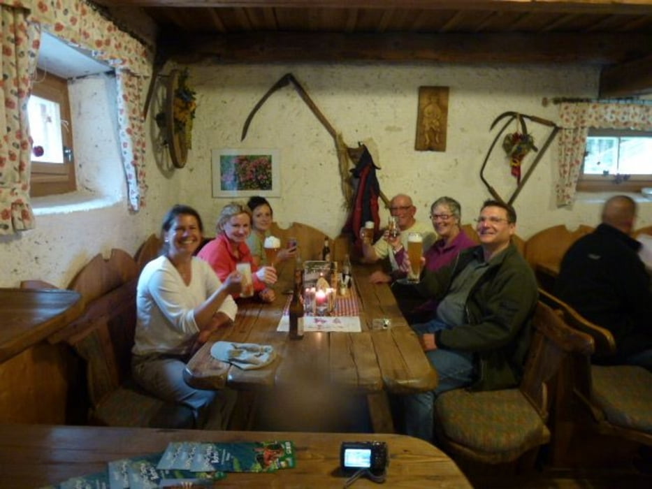
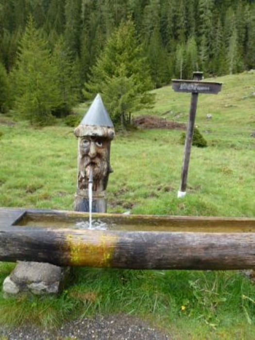
Mit die Hotelwirtin von Hotel Platzer aus Gmünd in Maltatal nach Renwegg am Katschberg. Parken beim Grillplatz. Von dort aus führt eine gemüttlichen Wanderweg entweder links oder rechts der Lieser zu den Jaussenstation Kochlöffelhütte. Man kann auch den Tschu-Tschu Bahn nehmen die regelmässig hin un her fahrt.
Galeria trasy
Mapa trasy i profil wysokości
Minimum height 1292 m
Maximum height 1385 m
Komentarze

GPS tracks
Trackpoints-
GPX / Garmin Map Source (gpx) download
-
TCX / Garmin Training Center® (tcx) download
-
CRS / Garmin Training Center® (crs) download
-
Google Earth (kml) download
-
G7ToWin (g7t) download
-
TTQV (trk) download
-
Overlay (ovl) download
-
Fugawi (txt) download
-
Kompass (DAV) Track (tk) download
-
Karta trasy (pdf) download
-
Original file of the author (gpx) download
Add to my favorites
Remove from my favorites
Edit tags
Open track
My score
Rate

