Login

Zapomniałeś swój login?

Cookies have to be accepted!
Your browser's cookie functionality is disabled. Please enable this functionality.

Not a member yet?

Register now
Login

Available for registred users only

Log in to use this feature.

Zapomniałeś swój login?

Cookies have to be accepted!
Your browser's cookie functionality is disabled. Please enable this functionality.

Not a member yet?

Register now
Filter
Kategorie
Advanced filters
  • Długość (km)
  • Wysokość
Zapisz filtr Reset filter

TrackRank

QRCode

Technical data

Długość65,4 km Wysokość603 m Way down575 m Czas trwania04:00 h:m Data26.05.2012
Oceny Author Krajobraz Czynnik zadowolenia Kondycja Technika

Statystyka

252 Widoki Oceny 29 Downloads / Pliki do pobrania Przeciętnie
Rate
  • Karta trasy
  • Dojazd
  • Downloads / Pliki do pobrania


Eine Tour ohne Hügel und fast alles ohne Nutzung von Straßen und wenn dann doch - so gut wie kein Verkehr.

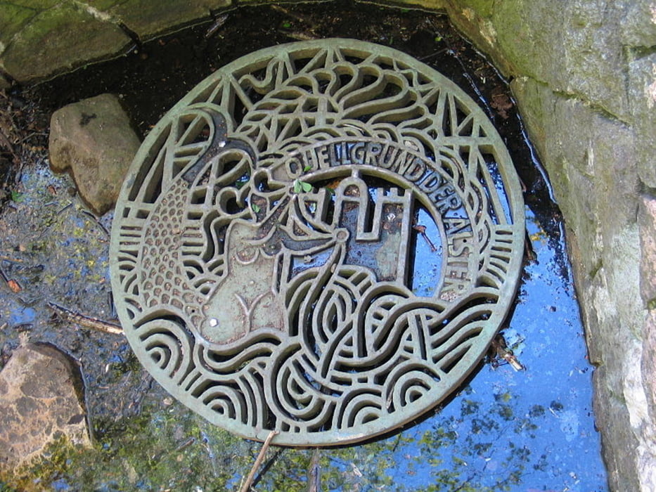
Das ist ein Tour durch eine typische nordische Landschaft mit dem Höhepunkt der Alster- Quelle.

Zurück sind wir mit U-Bahn und S-Bahn gefahren. Das ist eine rundum schöne und gemütliche Tour mit Möglichkeiten der Einkehr.

Viel Spaß

Mapa trasy i profil wysokości

  • Open Street Map
  • Google
Minimum height -95 m Maximum height -3 m Widok szczegółowy

More about the tour author

gerald009
Member since 2009

Send private message

Komentarze

Halstenbek- U- und S-Bahn

GPS tracks

Trackpoints
  • GPX / Garmin Map Source (gpx) download
  • TCX / Garmin Training Center® (tcx) download
  • CRS / Garmin Training Center® (crs) download
  • Google Earth (kml) download
  • G7ToWin (g7t) download
  • TTQV (trk) download
  • Overlay (ovl) download
  • Fugawi (txt) download
  • Kompass (DAV) Track (tk) download
  • Karta trasy (pdf) download
  • Original file of the author (gpx) download

More about the tour author

gerald009
Member since 2009

Send private message
Share track
Add to my favorites
Remove from my favorites
Edit tags
My score
Rate
Trasa: Halstenbek – Alsterquelle- Ahrendsburg
Rodzaj: Trasy rowerowe
Długość: 65,4 km
Evaluated on:
Czas trwania:
Day(s)
Hour(s)
Minute(s)
Ocena: Krajobraz Czynnik zadowolenia Kondycja Technika