


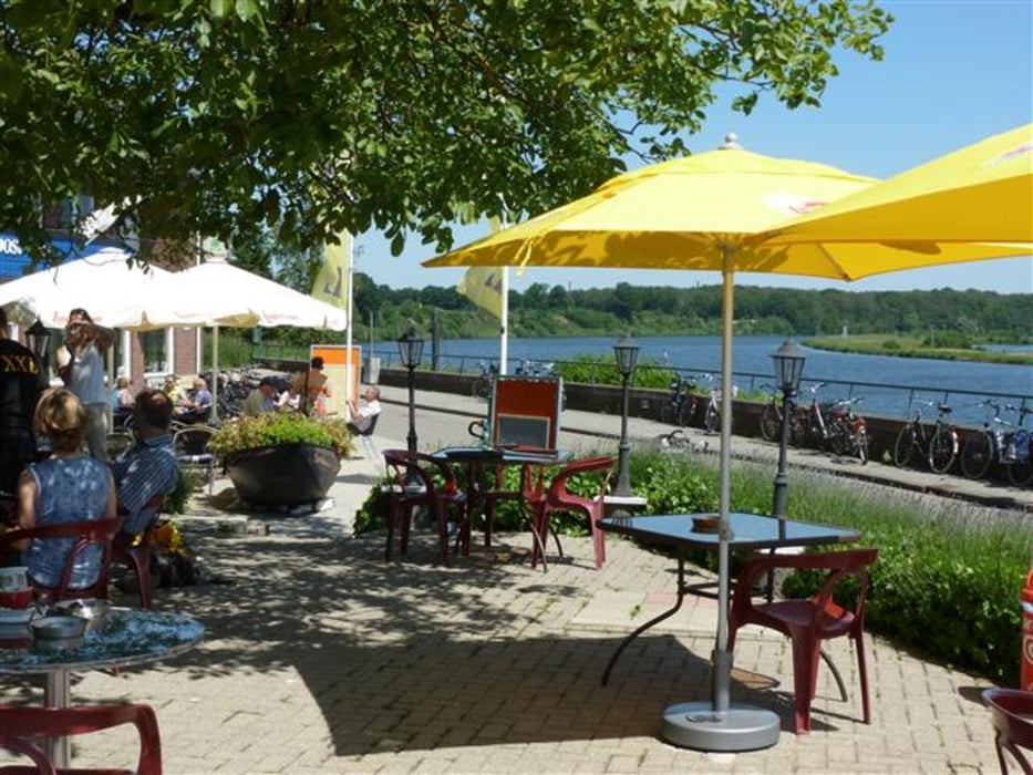
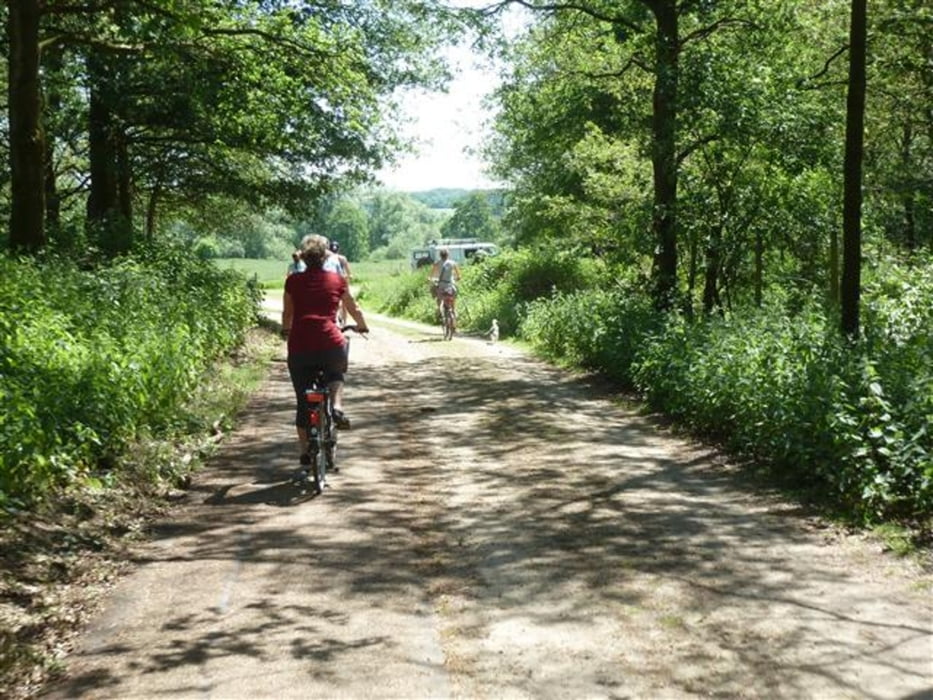
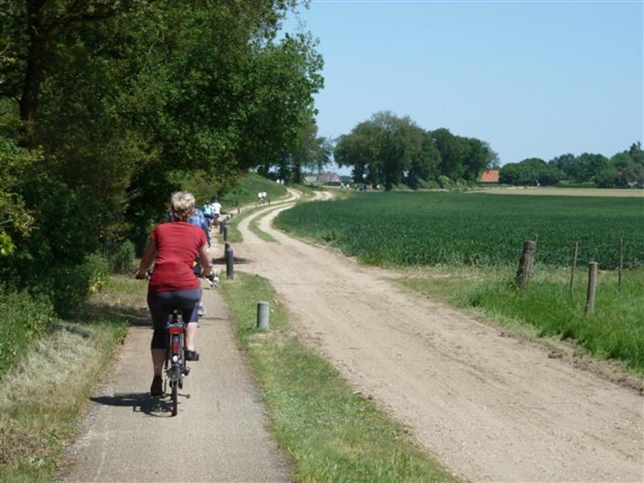
Eine Tour durch die wunderschöne niederrheinische Landschaft durch Wälder, Felder und entlang an Bächen (Schwalm) und Flüssen (Maas). Die Maas wird 2 Mal mittels Fähre überquert (ich weiß nicht, ob die auch wochentags fahren). Unterwegs gibt es zahlreiche Möglichkeiten, einzukehren und Pause zu machen. Die Tour ist geeignet für Kinder ab ca. 10 und auch für sportliche Ältere.
Wer Wert auf Kultur legt kann die von der Stadt Brüggen angebotene Tour 9 fahren (GPS-Daten liegen nicht vor). Es gibt eine Broschüre oder pdf-Datei, die die Sehenswürdigkeiten beschreibt.
Further information at
http://www.nettetal.de/c12575220045e94a/files/9_schwalm-maas-tour.pdf/$file/9_schwalm-maas-tour.pdf?openelementGaleria trasy
Mapa trasy i profil wysokości
Minimum height -40 m
Maximum height 62 m
More about the tour author

|
apetersen |
Komentarze
GPS tracks
Trackpoints-
GPX / Garmin Map Source (gpx) download
-
TCX / Garmin Training Center® (tcx) download
-
CRS / Garmin Training Center® (crs) download
-
Google Earth (kml) download
-
G7ToWin (g7t) download
-
TTQV (trk) download
-
Overlay (ovl) download
-
Fugawi (txt) download
-
Kompass (DAV) Track (tk) download
-
Karta trasy (pdf) download
-
Original file of the author (gpx) download
More about the tour author
|
|
apetersen |
Add to my favorites
Remove from my favorites
Edit tags
Open track
My score
Rate
Beurteilung