


Wiederhofen Salmaser Höhe - Wiederhofen
Ausgangspunkt: Wiederhofen bei Missen
Charakter:Wanderung, ca. 4 Std., ca. 300 hm
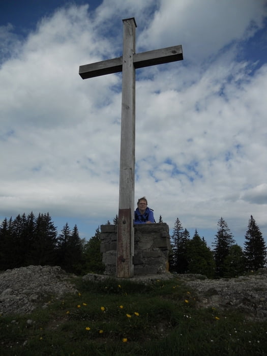
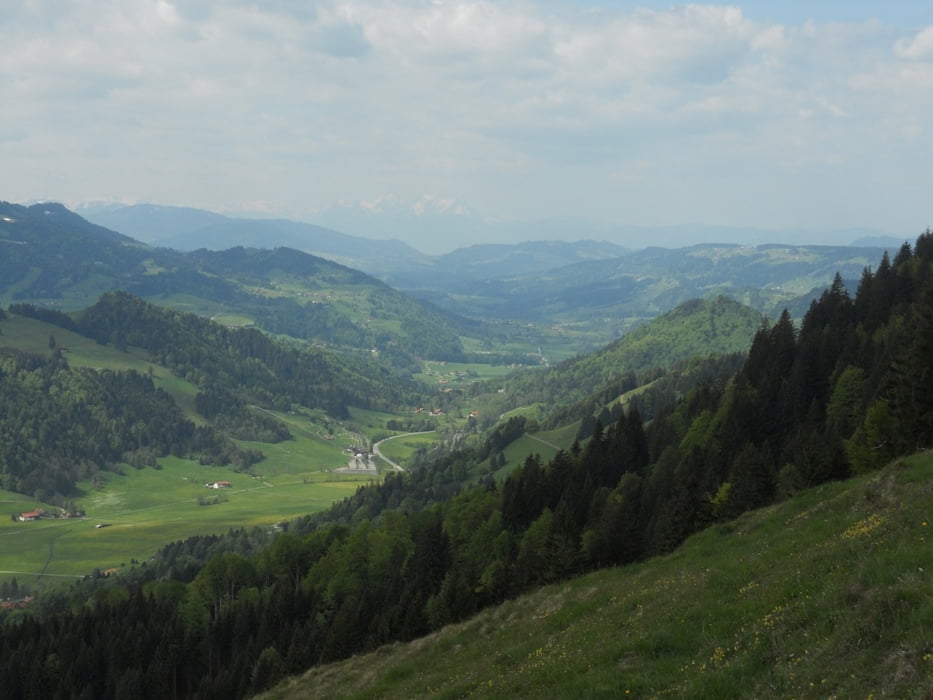
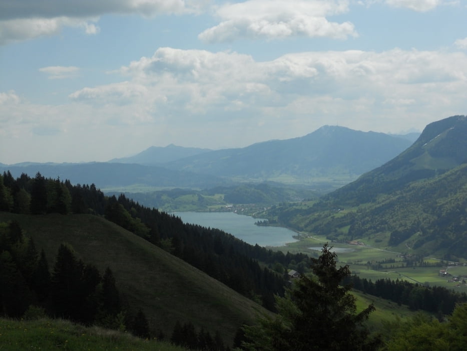
Tourenverlauf: Bei Wiederhofen hinabgehen zum Brücke Jugetach und unten die Staße weiter bis zum Untereibele-Alpe (kein Schild). Von hier aus direkt den Hang hinauf, bis Hirnbeinalpe von dort aüber den Hang Direkt zum Kreuz auf Salmaser Höhe.Hier erwartet uns eine umfassende Aussicht ins Westallgäu bis zum Säntis, der weit hinten majestätisch über dem Bodensee thront. Schön ist auch der Blick ins Tal zwischen Immenstadt u. Oberstaufen. Also, gemütlich auf dem Bänkchen die Sicht genießen und Brotzeit machen...einfach herrlich. Danach gehts direkt hinter uns den Hang hinab.Der weg leuft noch mal an Trähers-Alpe vorbei und kurz danach ereichen wir unseres Parkplatz weider.
Galeria trasy

Mapa trasy i profil wysokości
Minimum height 888 m
Maximum height 1252 m
More about the tour author
|
|
ajdda |
Komentarze

Auch untet beim Skilift ist eine Parkmöglichkeit
GPS tracks
Trackpoints-
GPX / Garmin Map Source (gpx) download
-
TCX / Garmin Training Center® (tcx) download
-
CRS / Garmin Training Center® (crs) download
-
Google Earth (kml) download
-
G7ToWin (g7t) download
-
TTQV (trk) download
-
Overlay (ovl) download
-
Fugawi (txt) download
-
Kompass (DAV) Track (tk) download
-
Karta trasy (pdf) download
-
Original file of the author (gpx) download
More about the tour author
|
|
ajdda |
Add to my favorites
Remove from my favorites
Edit tags
Open track
My score
Rate