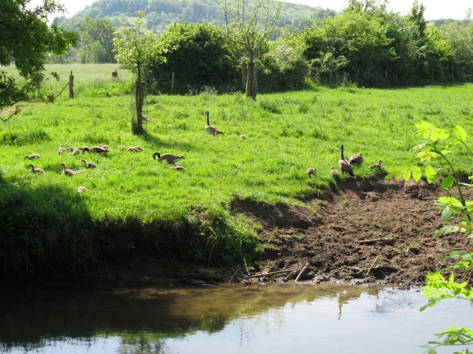
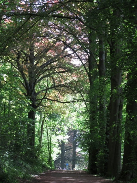
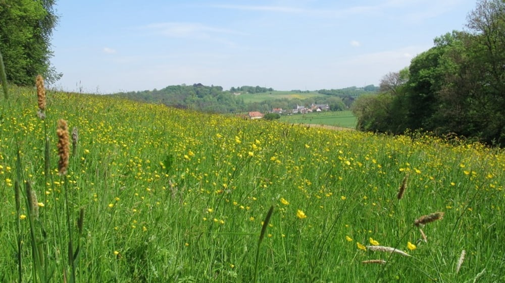
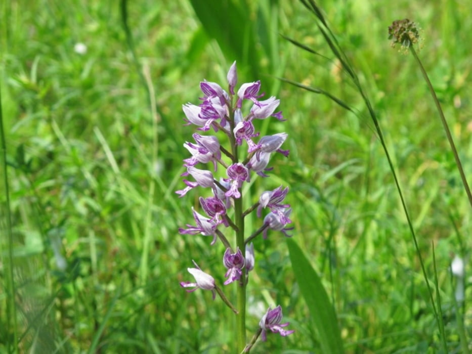
Schöne Rundwanderung ab Shin op Geul durch das Geultal und das Gerendal durch hübsche Landschaft mit Wiesen, Wald, Bach- und Flußläufen und grandiosen Ausblicken. Ein Abstecher durch den Orchideengarten rundet das Ganze ab.
- Wegbeschaffenheit: Festes Schuhwerk ist zu empfehlen. Alles, was Räder hat, ist fehl am Platz.
- Empfohlene Wegrichtung: gegen den Uhrzeigersinn
- Einkehr: diverse, aber erst im letzten Wegdrittel
- Sehenswertes: Schloß Genhoes, eingewachsene Marienstatue, St. Jans Quelle, Geulweiher, Geulpark, Gerendal, Kalköfen, Ochideengarten, historisches Bahnhofscafe
Further information at
http://www.wanderninsuedlimburg.de/Galeria trasy
Mapa trasy i profil wysokości
Komentarze

Von Aachen über Vaals, Lemiers, Nijswiller, Wahlwiller, dann rechts ab in Richtung Valkenburg. Über Wijlre, Schonbrunn und Oud-Valkenburg zum Startpunkt der Wanderung in Shin op Geul. Parken ist kostenlos am Bahnhof möglich.
Alternativ und attraktiv: von Aachen nach Simpelfeld in die Stationsstraat und dann mit der historischen Dampfbahn auf der sogenannten Miljoenenlijn nach Shin op Geul fahren (drei Stationen). Mehr Infos auf www.zlsm.de.
GPS tracks
Trackpoints-
GPX / Garmin Map Source (gpx) download
-
TCX / Garmin Training Center® (tcx) download
-
CRS / Garmin Training Center® (crs) download
-
Google Earth (kml) download
-
G7ToWin (g7t) download
-
TTQV (trk) download
-
Overlay (ovl) download
-
Fugawi (txt) download
-
Kompass (DAV) Track (tk) download
-
Karta trasy (pdf) download
-
Original file of the author (gpx) download


