Login

Zapomniałeś swój login?

Cookies have to be accepted!
Your browser's cookie functionality is disabled. Please enable this functionality.

Not a member yet?

Register now
Login

Available for registred users only

Log in to use this feature.

Zapomniałeś swój login?

Cookies have to be accepted!
Your browser's cookie functionality is disabled. Please enable this functionality.

Not a member yet?

Register now
Filter
Kategorie
Advanced filters
  • Długość (km)
  • Wysokość
Zapisz filtr Reset filter

TrackRank

QRCode

Technical data

Długość48,0 km Wysokość1839 m Way down1583 m Czas trwania04:33 h:m Data29.05.2012
Oceny Author Krajobraz Czynnik zadowolenia Kondycja Technika

Statystyka

453 Widoki Oceny 39 Downloads / Pliki do pobrania Przeciętnie
Rate
  • Karta trasy
  • Dojazd
  • Downloads / Pliki do pobrania

Lunz a.S.-Feldwiesalm-Gemeindealpe-Mitterbach-
St.Sebastian-Bürgeralpe-St.Sebastian-Mariazell

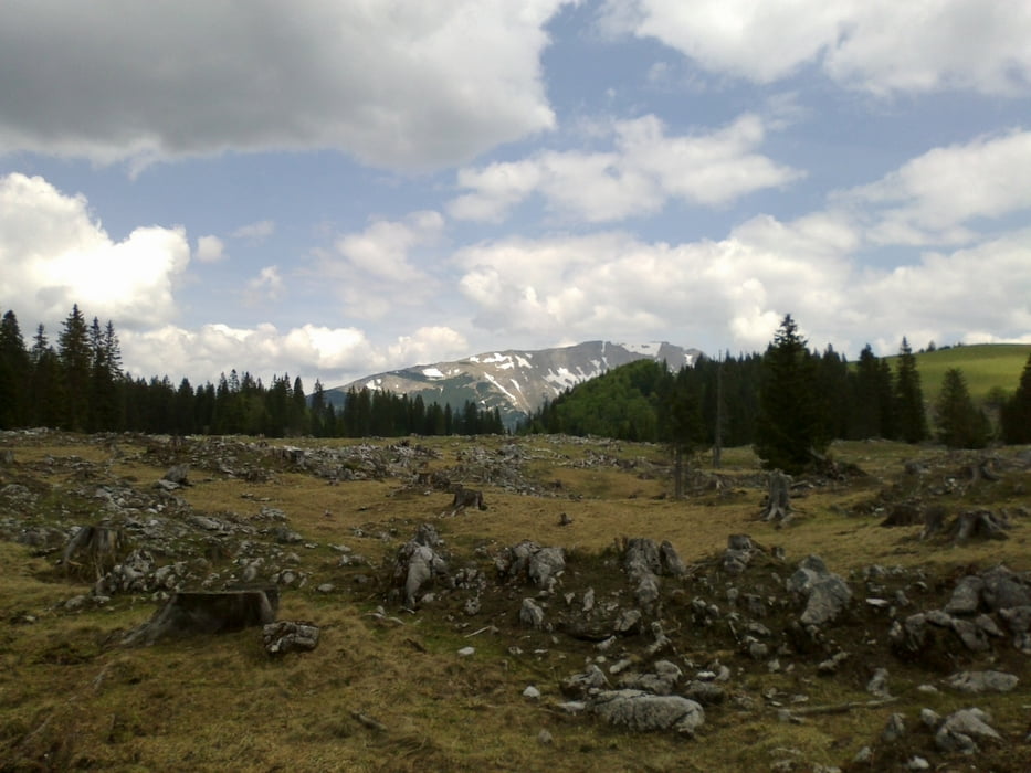
Die 2 Mariazeller Hausberge. Ca. 30 Min. Schiebung auf die
Gemeindealpe (die letzten 150 hm). Die Schiebung auf die
Bürgeralpe hätte ich mir sparen können, wenn ich die offizielle
MTB-Strecke vo St. Sebastian aus genommen hätte. So ging
es dort halt bergab. Trotzdem lässige Tour!
 

Galeria trasy

Mapa trasy i profil wysokości

  • Open Street Map
  • Google
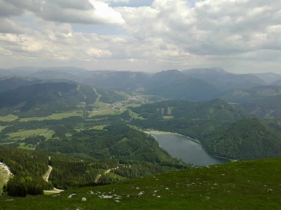
Minimum height 621 m Maximum height 1628 m Widok szczegółowy

More about the tour author

mitter
Member since 2008

Send private message

Komentarze

Lunz am See

GPS tracks

Trackpoints
  • GPX / Garmin Map Source (gpx) download
  • TCX / Garmin Training Center® (tcx) download
  • CRS / Garmin Training Center® (crs) download
  • Google Earth (kml) download
  • G7ToWin (g7t) download
  • TTQV (trk) download
  • Overlay (ovl) download
  • Fugawi (txt) download
  • Kompass (DAV) Track (tk) download
  • Karta trasy (pdf) download
  • Original file of the author (gpx) download

More about the tour author

mitter
Member since 2008

Send private message
Share track
Add to my favorites
Remove from my favorites
Edit tags
My score
Rate
Trasa: Lunz-Mariazell
Rodzaj: Rower górski (MTB)
Długość: 48,0 km
Evaluated on:
Czas trwania:
Day(s)
Hour(s)
Minute(s)
Ocena: Krajobraz Czynnik zadowolenia Kondycja Technika