


Von Finale Ligure nach Verzi
Startpunkt: Busparkplatz in Finalborgo an der Straße nach Calice Ligure
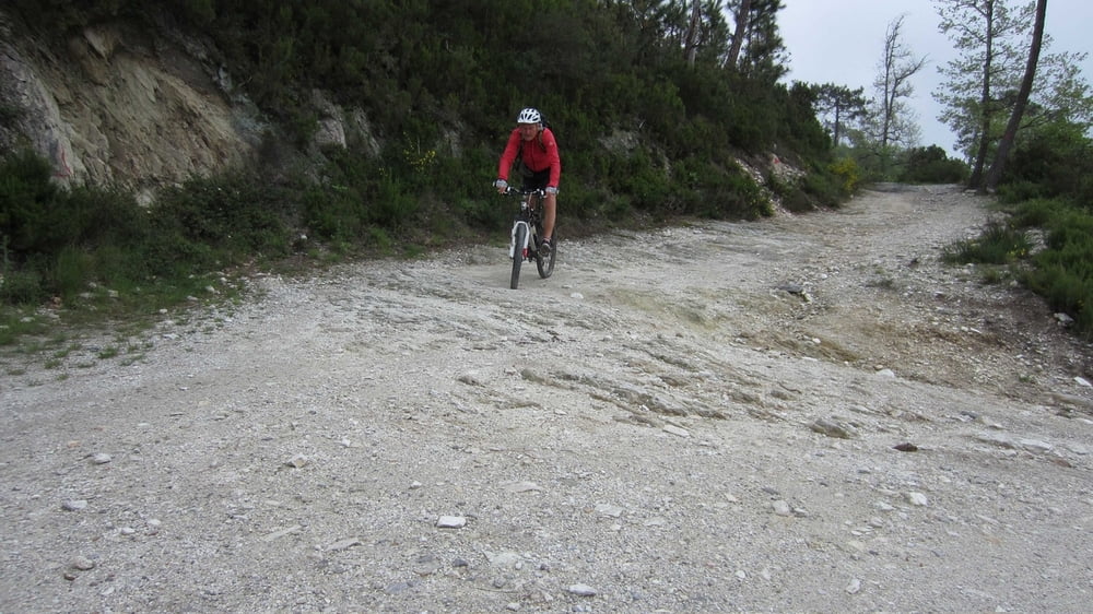
Kleine Marathonrunde, auf gut fahrbaren Asphalt- und Schotterstraßen, die auch für Anfänger gut fahrbar ist.
Von Finalborgo auf der Provinzstraße nach Calice Ligure und von hier über die Kapelle Madonna delle Grazie zur Staatsstraße 490. Dieser kurz nach rechts folgen um dann links nach Bardino Vecchio zu fahren. Weiter Richtung Borgio – Verezzi um kurz nach Unterquerung der Autobahn spitzwinklig rechts zurück nach San Lorenzo zu pedalieren. Weiter zum Castello di Giustenice um kurz zuvor an einer Kurve nach rechts auf die Bikepiste mit einigen steilen Betonrampen einzubiegen. Diesem Hauptweg bis zu einem Schotterpass folgen und hier links nach Verzi abfahren. Von Verzi nach Loano und an der Küste zurück nach Finale strampeln. Die Tour kann in den Kompasskarten 641 und 642 gefunden werden.
Galeria trasy


Mapa trasy i profil wysokości
Minimum height 6 m
Maximum height 422 m
More about the tour author
|
|
RudolfTill |
Komentarze

Anfahrt:
Von der Autobahn A 10 über die Ausfahrt Finale Ligure nach Finalborgo fahren.
Von der Autobahn A 10 über die Ausfahrt Finale Ligure nach Finalborgo fahren.
GPS tracks
Trackpoints-
GPX / Garmin Map Source (gpx) download
-
TCX / Garmin Training Center® (tcx) download
-
CRS / Garmin Training Center® (crs) download
-
Google Earth (kml) download
-
G7ToWin (g7t) download
-
TTQV (trk) download
-
Overlay (ovl) download
-
Fugawi (txt) download
-
Kompass (DAV) Track (tk) download
-
Karta trasy (pdf) download
-
Original file of the author (gpx) download
More about the tour author
|
|
RudolfTill |
Add to my favorites
Remove from my favorites
Edit tags
Open track
My score
Rate