
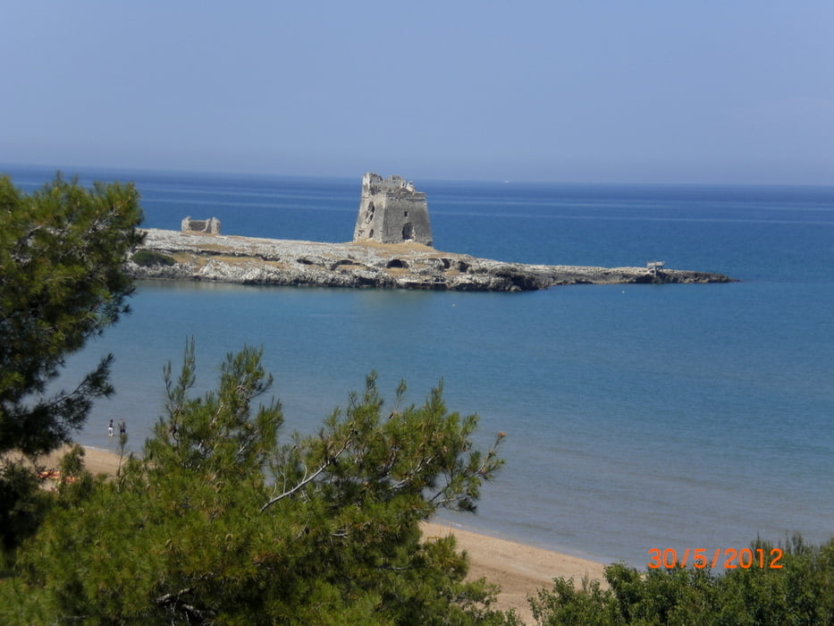

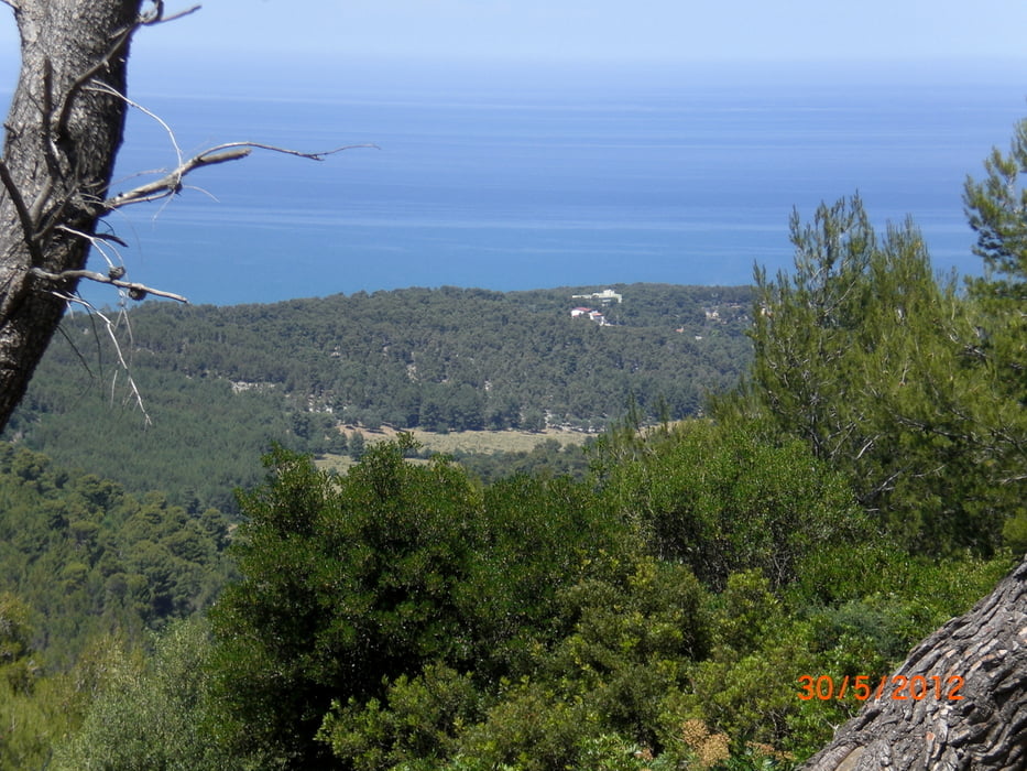
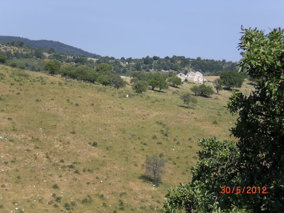
vom Campingplatz Manacore International gehts erst auf der 7 km auf der Küstenstrasse Richtung Vieste. Dann links ab und auf einem kleinen Sträßchen (alte SS89) hinauf erst durch Olivenhaine und dann durch Macchia immer leicht bergauf. nach ca. 13 km gehts rechts ab in einer Schotterweg der hinauf zum Foreste Umbra bis zum Monte Iacotenente (832 m) führt. Dann fahren wir ca. 5 km auf ebenen Waldwegen durch den Wald bevor es wieder bergab erst Richtung Sfilzi und dann Richtung Küstenstrasse zurückgeht.
Further information at
http://www.garganobike.com/de/Galeria trasy
Mapa trasy i profil wysokości
Minimum height -10 m
Maximum height 835 m
More about the tour author
|
|
Fruehaufsteher |
Komentarze

GPS tracks
Trackpoints-
GPX / Garmin Map Source (gpx) download
-
TCX / Garmin Training Center® (tcx) download
-
CRS / Garmin Training Center® (crs) download
-
Google Earth (kml) download
-
G7ToWin (g7t) download
-
TTQV (trk) download
-
Overlay (ovl) download
-
Fugawi (txt) download
-
Kompass (DAV) Track (tk) download
-
Karta trasy (pdf) download
-
Original file of the author (gpx) download
More about the tour author
|
|
Fruehaufsteher |
Add to my favorites
Remove from my favorites
Edit tags
Open track
My score
Rate