Login

Zapomniałeś swój login?

Cookies have to be accepted!
Your browser's cookie functionality is disabled. Please enable this functionality.

Not a member yet?

Register now
Login

Available for registred users only

Log in to use this feature.

Zapomniałeś swój login?

Cookies have to be accepted!
Your browser's cookie functionality is disabled. Please enable this functionality.

Not a member yet?

Register now
Filter
Kategorie
Advanced filters
  • Długość (km)
  • Wysokość
Zapisz filtr Reset filter

TrackRank

QRCode

Technical data

Długość23,5 km Wysokość286 m Way down285 m Czas trwania00:00 h:m Data04.06.2012
Oceny Author Krajobraz Czynnik zadowolenia Kondycja Technika

Statystyka

492 Widoki Oceny 30 Downloads / Pliki do pobrania Przeciętnie
Rate
  • Karta trasy
  • Dojazd
  • Downloads / Pliki do pobrania

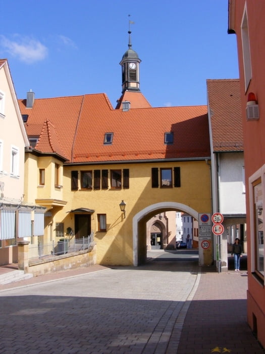
schöne Tour, leichtes Gelände, verschieden Einkehrmöglichkeiten


Galeria trasy

Mapa trasy i profil wysokości

  • Open Street Map
  • Google
Minimum height 323 m Maximum height 426 m Widok szczegółowy

More about the tour author

Matthias N
Member since 2005

Send private message

Komentarze

Mit dem Zug zum Bahnhof Heilsbronn, oder mit dem Auto zum Freibad, dort ist ein großer kostenloser Parkplatz.


GPS tracks

Trackpoints
  • GPX / Garmin Map Source (gpx) download
  • TCX / Garmin Training Center® (tcx) download
  • CRS / Garmin Training Center® (crs) download
  • Google Earth (kml) download
  • G7ToWin (g7t) download
  • TTQV (trk) download
  • Overlay (ovl) download
  • Fugawi (txt) download
  • Kompass (DAV) Track (tk) download
  • Karta trasy (pdf) download
  • Original file of the author (gpx) download

More about the tour author

Matthias N
Member since 2005

Send private message
Share track
Add to my favorites
Remove from my favorites
Edit tags
My score
Rate
Trasa: Heilsbronn
Rodzaj: Wędrówki
Długość: 23,5 km
Evaluated on:
Czas trwania:
Day(s)
Hour(s)
Minute(s)
Ocena: Krajobraz Czynnik zadowolenia Kondycja Technika