Login

Zapomniałeś swój login?

Cookies have to be accepted!
Your browser's cookie functionality is disabled. Please enable this functionality.

Not a member yet?

Register now
Login

Available for registred users only

Log in to use this feature.

Zapomniałeś swój login?

Cookies have to be accepted!
Your browser's cookie functionality is disabled. Please enable this functionality.

Not a member yet?

Register now
Filter
Kategorie
Advanced filters
  • Długość (km)
  • Wysokość
Zapisz filtr Reset filter

TrackRank

QRCode

Technical data

Długość9,2 km Wysokość355 m Way down354 m Czas trwania03:00 h:m Data04.06.2012
Oceny Author Krajobraz Czynnik zadowolenia Kondycja Technika

Statystyka

568 Widoki Oceny 131 Downloads / Pliki do pobrania Przeciętnie
Rate
  • Karta trasy
  • Dojazd
  • Downloads / Pliki do pobrania
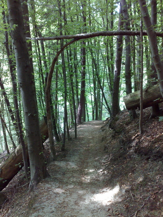
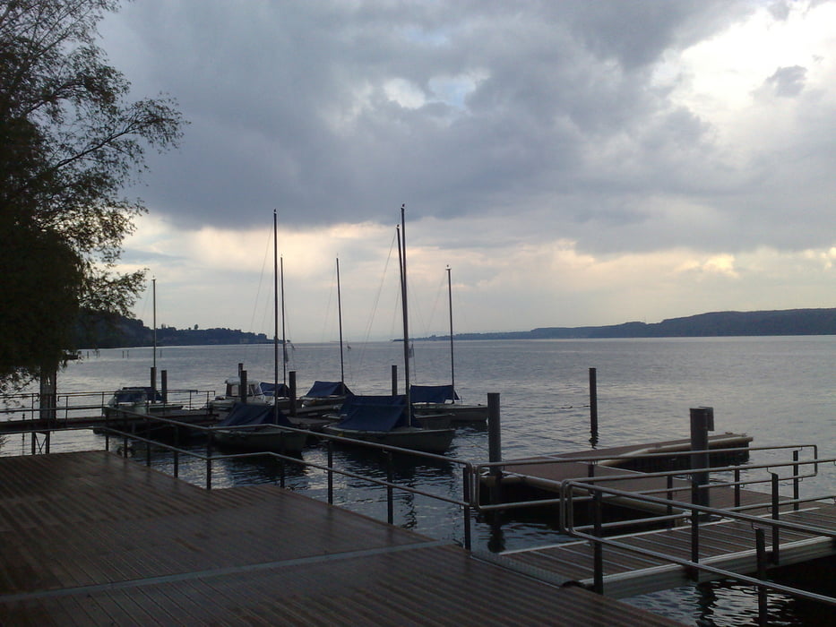
Kurze Rundwanderung (im Uhrzeigersinn) mit Start/Ziel in Sipplingen. Vom oberhalb gelegenen Haldenhof hat man einen schönen Ausblick auf den Überlinger See, den Obersee und bei Fernsicht bis zu den Alpen. 

Further information at

http://www.sipplingen.de/tourismus/

Galeria trasy

Mapa trasy i profil wysokości

  • Open Street Map
  • Google
Minimum height 397 m Maximum height 653 m Widok szczegółowy

More about the tour author

fieselschweif
Member since 2009

Send private message

Komentarze

Parkmöglichkeit: Parkplatz P1 am Ortseingang von Sipplingen (gebührenpflichtig) 

GPS tracks

Trackpoints
  • GPX / Garmin Map Source (gpx) download
  • TCX / Garmin Training Center® (tcx) download
  • CRS / Garmin Training Center® (crs) download
  • Google Earth (kml) download
  • G7ToWin (g7t) download
  • TTQV (trk) download
  • Overlay (ovl) download
  • Fugawi (txt) download
  • Kompass (DAV) Track (tk) download
  • Karta trasy (pdf) download
  • Original file of the author (gpx) download

More about the tour author

fieselschweif
Member since 2009

Send private message
Share track
Add to my favorites
Remove from my favorites
Edit tags
My score
Rate
Trasa: Rundwanderung um Sipplingen ü. Haldenhof m. Blick auf Überlinger See u. Obersee
Rodzaj: Wędrówki
Długość: 9,2 km
Evaluated on:
Czas trwania:
Day(s)
Hour(s)
Minute(s)
Ocena: Krajobraz Czynnik zadowolenia Kondycja Technika