
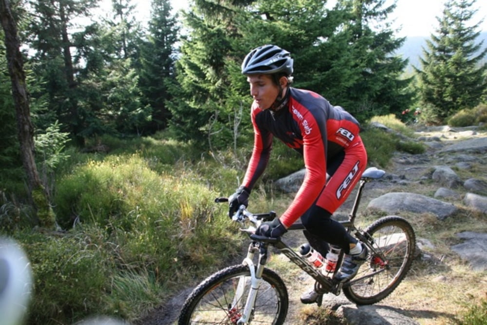

los gehts ab Braunlage, über Alte Badharzburger nach Königskrug, hier rechts halten, oberhalb des Odertals auf Waldweg bis Oderteich. Hier nun direkt über die Staumauer vom Oderteich und danach gleich wieder links, rehberger Graben Richtung Rehberger Grabenhaus, nach 500m rechts hinauf, Geröllweg, etwas anspruchsvoll, bis zum obersten Weg am Rehberger Graben. Danach bis Internationales Haus, dahinter gehts hinab auf Waldweg bis zu Gaststätte Rinderstall, ca. 200m links rauf Richtung Braunlage, Kaiserweg und wieder Herzog Johann Albrecht Str.
Further information at
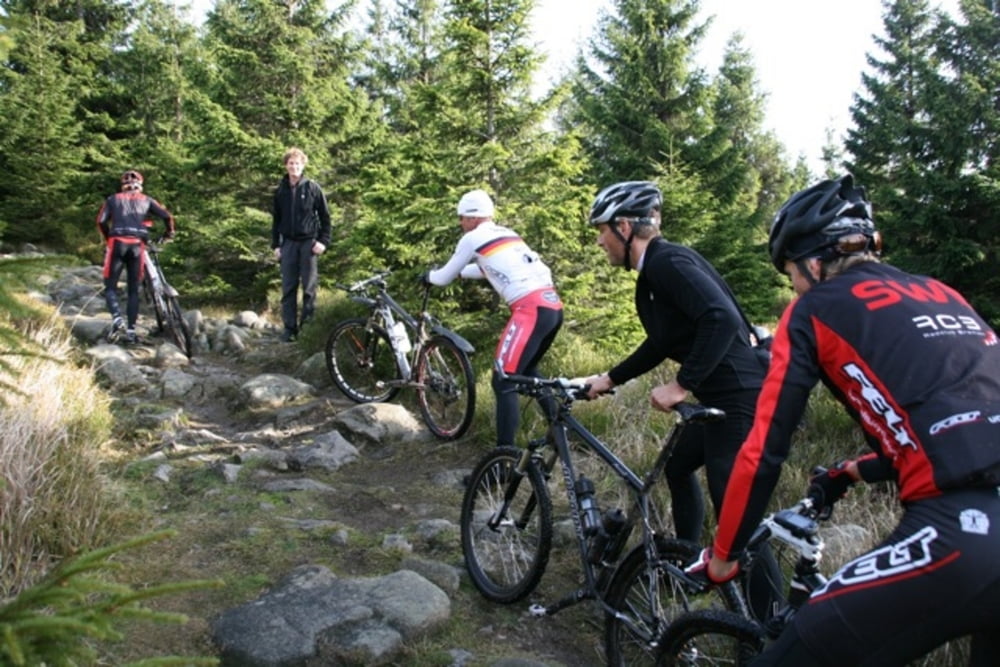
http://www.harzidyll.de/harz-reisen/mountainbike.htmlGaleria trasy
Mapa trasy i profil wysokości
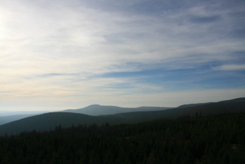
Minimum height 507 m
Maximum height 838 m
More about the tour author
|
|
harzidyll |
Komentarze

Braunschweig-Bad Harzburg-Braunlage
GPS tracks
Trackpoints-
GPX / Garmin Map Source (gpx) download
-
TCX / Garmin Training Center® (tcx) download
-
CRS / Garmin Training Center® (crs) download
-
Google Earth (kml) download
-
G7ToWin (g7t) download
-
TTQV (trk) download
-
Overlay (ovl) download
-
Fugawi (txt) download
-
Kompass (DAV) Track (tk) download
-
Karta trasy (pdf) download
-
Original file of the author (tcx) download
More about the tour author
|
|
harzidyll |
Add to my favorites
Remove from my favorites
Edit tags
Open track
My score
Rate