Login

Zapomniałeś swój login?

Cookies have to be accepted!
Your browser's cookie functionality is disabled. Please enable this functionality.

Not a member yet?

Register now
Login

Available for registred users only

Log in to use this feature.

Zapomniałeś swój login?

Cookies have to be accepted!
Your browser's cookie functionality is disabled. Please enable this functionality.

Not a member yet?

Register now
Filter
Kategorie
Advanced filters
  • Długość (km)
  • Wysokość
Zapisz filtr Reset filter

TrackRank

QRCode

Technical data

Długość69,9 km Wysokość944 m Way down863 m Czas trwania06:30 h:m Data08.06.2012
Oceny Author Krajobraz Czynnik zadowolenia Kondycja Technika

Statystyka

1388 Widoki Oceny 93 Downloads / Pliki do pobrania Przeciętnie
Rate
  • Karta trasy
  • Dojazd
  • Downloads / Pliki do pobrania

Weißenbach - Lechtal-Radweg - bis Stockach - links ins Sulzltal.


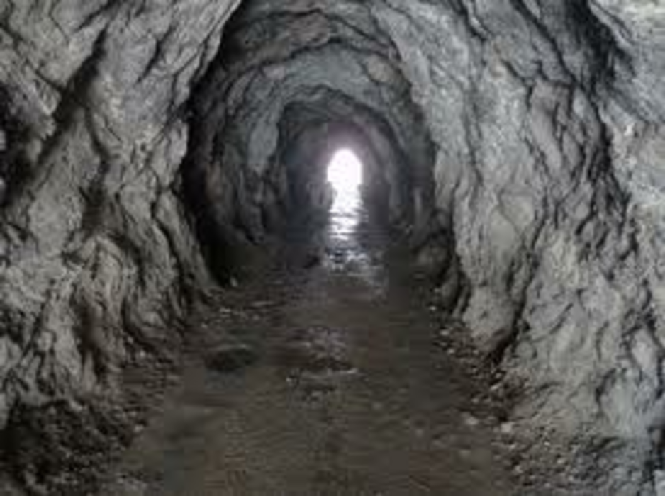
Von Weißenbach-Sportplatz (Parkmöglichkeit) den Radweg entlang des Lech`s bis nach Stockach, nach dem Unterführungstunnel gehts links ins Sulzltal. Zuerst ziemlich steil durch den Wald, dann kommt man zu den Tunnel`s die durch die Felswand führen, danach noch einige hundert Meter und man ist am ZIEL -- SULZLALM 1466m

Galeria trasy

Mapa trasy i profil wysokości

  • Open Street Map
  • Google
Minimum height 879 m Maximum height 1509 m Widok szczegółowy

More about the tour author

tirolboy
Member since 2010

Send private message

Komentarze

GPS tracks

Trackpoints
  • GPX / Garmin Map Source (gpx) download
  • TCX / Garmin Training Center® (tcx) download
  • CRS / Garmin Training Center® (crs) download
  • Google Earth (kml) download
  • G7ToWin (g7t) download
  • TTQV (trk) download
  • Overlay (ovl) download
  • Fugawi (txt) download
  • Kompass (DAV) Track (tk) download
  • Karta trasy (pdf) download
  • Original file of the author (gpx) download

More about the tour author

tirolboy
Member since 2010

Send private message
Share track
Add to my favorites
Remove from my favorites
Edit tags
My score
Rate
Trasa: Sulzlalm Lechtal von Weißenbach
Rodzaj: Rower górski (MTB)
Długość: 69,9 km
Evaluated on:
Czas trwania:
Day(s)
Hour(s)
Minute(s)
Ocena: Krajobraz Czynnik zadowolenia Kondycja Technika