


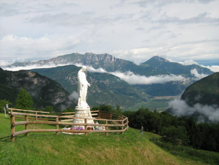
Bel giro, con tratti decisamente poco frequentati e conosciuti dai biker, nei dintorni di Folgaria. Notevoli gli scorci panoramici e le emergenze ambientali che si incontrano sul percorso.
Fondo per tutti i gusti:strade forestali, sentieri, single trail e.... un pizzico di asfalto (il tratto che collega Guardia a Serrada ha alcune rampe dal dislivello niente male).
Da Serrada a passo Sommo il giro ricalca il tracciato, ben segnalato, della Folgaria Megabike.
Itinerario: Folgaria – cascata dell'Ofentol – Guardia – Serrada – Francolini – biotopo di Echen – Passo Sommo – Fontanelle - Folgaria
Galeria trasy
Mapa trasy i profil wysokości
Minimum height 873 m
Maximum height 1483 m
More about the tour author
|
|
FOLAMOUR |
Komentarze

L'itinerario parte a Folgaria, di fronte al distributore Total sulla SS 350.
GPS tracks
Trackpoints-
GPX / Garmin Map Source (gpx) download
-
TCX / Garmin Training Center® (tcx) download
-
CRS / Garmin Training Center® (crs) download
-
Google Earth (kml) download
-
G7ToWin (g7t) download
-
TTQV (trk) download
-
Overlay (ovl) download
-
Fugawi (txt) download
-
Kompass (DAV) Track (tk) download
-
Karta trasy (pdf) download
-
Original file of the author (gpx) download
More about the tour author
|
|
FOLAMOUR |
Add to my favorites
Remove from my favorites
Edit tags
Open track
My score
Rate