


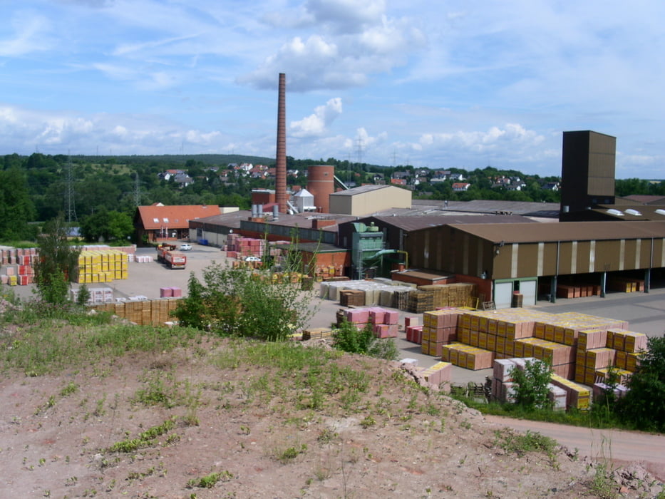
Die abwechlsungsreichen Runde führt an einigen Industriekörpern vorbei. Sie besteht aus einem flachen Teil über Alzenau nach Aschaffenburg. Einen schönen Ausblick hat man bei der kleinen Schleife bei Kälberau.
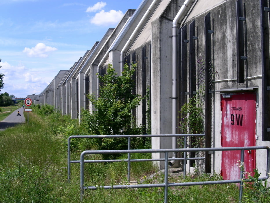
Dann die Aschaff hinauf bis Sailauf durch dichbesiedeltes Gebiet und parall der A3. Industriegebiete welchseln sich ab mit überwachsenen Dorfstrukturen.
Zurück nach Gelnhausen geht es über Rottenberg durch den Spessart. Nur hier werden die Höhenmeter gemacht und es gibt einige schönen Sträßchen und immer wieder schöne Ausblicke.
Galeria trasy


Mapa trasy i profil wysokości
Minimum height 70 m
Maximum height 386 m
More about the tour author
|
|
chs |
Komentarze

Start und Ziel ist in Gelnhausen-Meerholz.
GPS tracks
Trackpoints-
GPX / Garmin Map Source (gpx) download
-
TCX / Garmin Training Center® (tcx) download
-
CRS / Garmin Training Center® (crs) download
-
Google Earth (kml) download
-
G7ToWin (g7t) download
-
TTQV (trk) download
-
Overlay (ovl) download
-
Fugawi (txt) download
-
Kompass (DAV) Track (tk) download
-
Karta trasy (pdf) download
-
Original file of the author (gpx) download
More about the tour author
|
|
chs |
Add to my favorites
Remove from my favorites
Edit tags
Open track
My score
Rate