

Tour Luxemburg
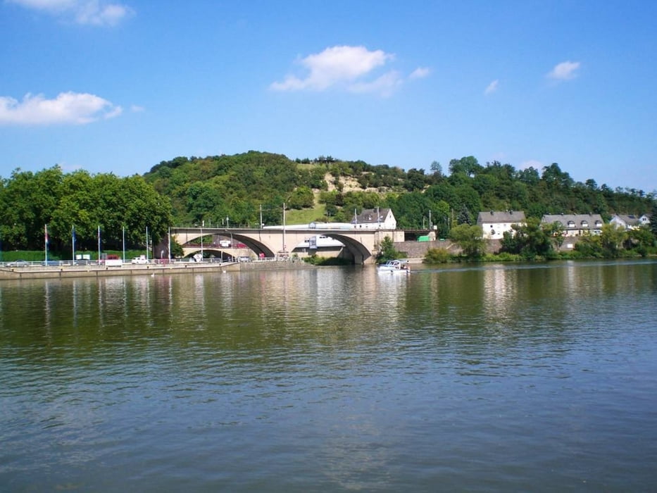
Entdecken Sie die beiden touristischen Städte „par excellence“ des Großherzogtums: die Kapitale Luxemburg mit ihrer Altstadt, UNESCO-Weltkulturerbe und die Abteistadt Echternach, deren einmalige Springprozession zum immateriellen UNESCO-Erbe zählt. Diese leichte Strecke verläuft zuerst über eine ehemalige Bahntrasse. Auf einem schattigen Weg entlang der Alzette umrunden Sie die Hauptstadt und fahren in Richtung des Kurortes Mondorf-les-Bains. Der Weg schlängelt sich durch Wälder und Weinberge bis zur Weinstadt Remich. Im breiten Moseltal fahren Sie stromabwärts durch die Festungsstadt Grevenmacher zum tiefsten Punkt des Landes in Wasserbillig. Die Route folgt der Sauer ab ihrer Mündung in die Mosel durch eine prächtig grüne Landschaft zurück nach Echternach.Quelle: velo-sans frontieres
Further information at
http://www.gusti.luMapa trasy i profil wysokości
Minimum height 131 m
Maximum height 402 m
More about the tour author
|
|
ralbert |
Komentarze

GPS tracks
Trackpoints-
GPX / Garmin Map Source (gpx) download
-
TCX / Garmin Training Center® (tcx) download
-
CRS / Garmin Training Center® (crs) download
-
Google Earth (kml) download
-
G7ToWin (g7t) download
-
TTQV (trk) download
-
Overlay (ovl) download
-
Fugawi (txt) download
-
Kompass (DAV) Track (tk) download
-
Karta trasy (pdf) download
-
Original file of the author (gpx) download
More about the tour author
|
|
ralbert |
Add to my favorites
Remove from my favorites
Edit tags
Open track
My score
Rate