Login

Zapomniałeś swój login?

Cookies have to be accepted!
Your browser's cookie functionality is disabled. Please enable this functionality.

Not a member yet?

Register now
Login

Available for registred users only

Log in to use this feature.

Zapomniałeś swój login?

Cookies have to be accepted!
Your browser's cookie functionality is disabled. Please enable this functionality.

Not a member yet?

Register now
Filter
Kategorie
Advanced filters
  • Długość (km)
  • Wysokość
Zapisz filtr Reset filter

TrackRank

QRCode

Technical data

Długość13,1 km Wysokość84 m Way down80 m Czas trwania03:30 h:m Data11.06.2012
Oceny Author Krajobraz Czynnik zadowolenia Kondycja Technika

Statystyka

1229 Widoki Oceny 37 Downloads / Pliki do pobrania Przeciętnie
Rate
  • Karta trasy
  • Dojazd
  • Downloads / Pliki do pobrania
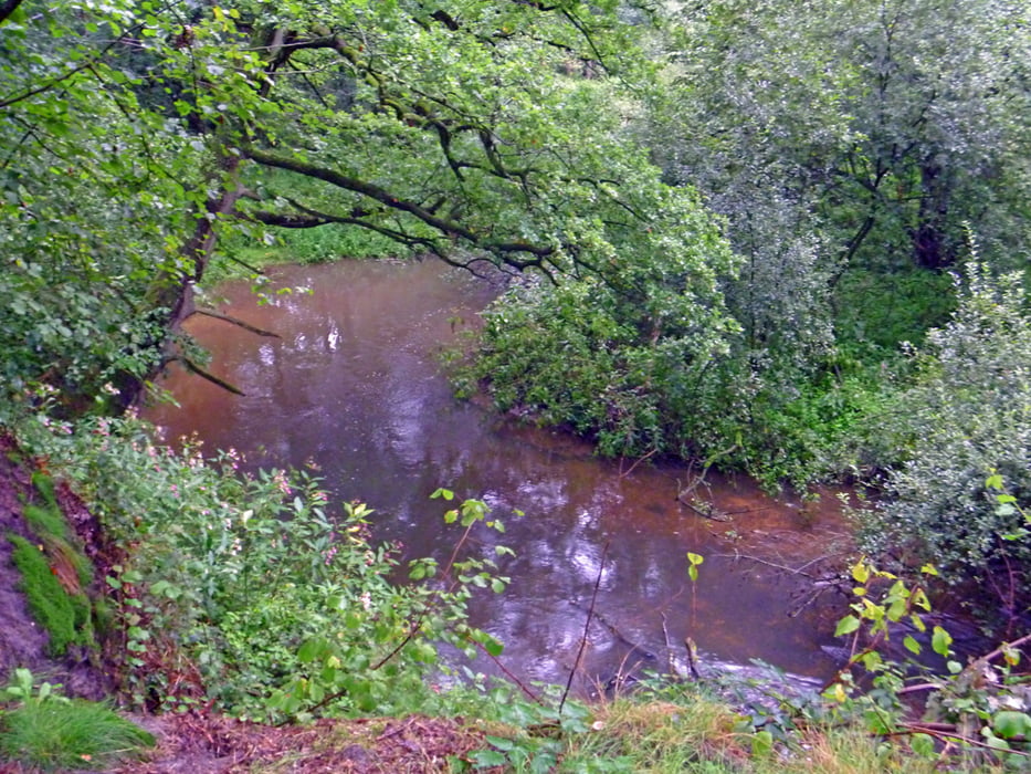
Sehr schöne Rundstrecke in einem Teil des Nationalparks "De Maasduinen" - beginnend am Geldernsch Nierskanal - Uferweg - Heide- und Waldgebiete - wegen des meist sandigen Bodens nicht matschig und bei jedem Wetter gut zu walken

Galeria trasy

Mapa trasy i profil wysokości

  • Open Street Map
  • Google
Minimum height 18 m Maximum height 53 m Widok szczegółowy

More about the tour author

hadihe
Member since 2012

Send private message

Komentarze

Der Start- und Zielpunkt liegt an der N 271 zwischen Arcen und Wellerlooi bei der Mündung des Geldernsch Nierskanal (Restaurant "De Hamert" und Pfannkuchenhaus "Jachthut op den Hamer"

Parkplatz 1 liegt Am Twistedenerweg und Parkplatz 2 am Walbeckerweg

GPS tracks

Trackpoints
  • GPX / Garmin Map Source (gpx) download
  • TCX / Garmin Training Center® (tcx) download
  • CRS / Garmin Training Center® (crs) download
  • Google Earth (kml) download
  • G7ToWin (g7t) download
  • TTQV (trk) download
  • Overlay (ovl) download
  • Fugawi (txt) download
  • Kompass (DAV) Track (tk) download
  • Karta trasy (pdf) download
  • Original file of the author (gpx) download

More about the tour author

hadihe
Member since 2012

Send private message
Share track
Add to my favorites
Remove from my favorites
Edit tags
My score
Rate
Trasa: De Hamert - Nationalpark Maasduinen
Rodzaj: Nordic walking
Długość: 13,1 km
Evaluated on:
Czas trwania:
Day(s)
Hour(s)
Minute(s)
Ocena: Krajobraz Czynnik zadowolenia Kondycja Technika