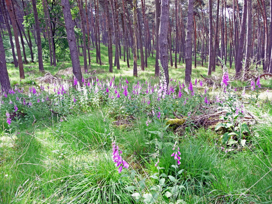
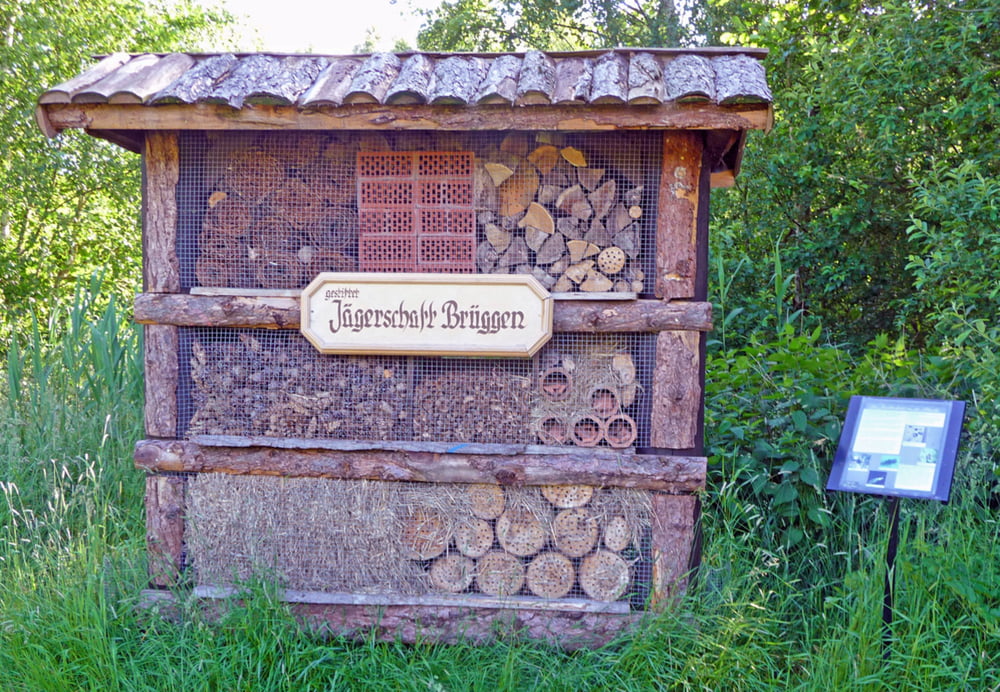
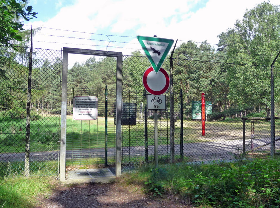
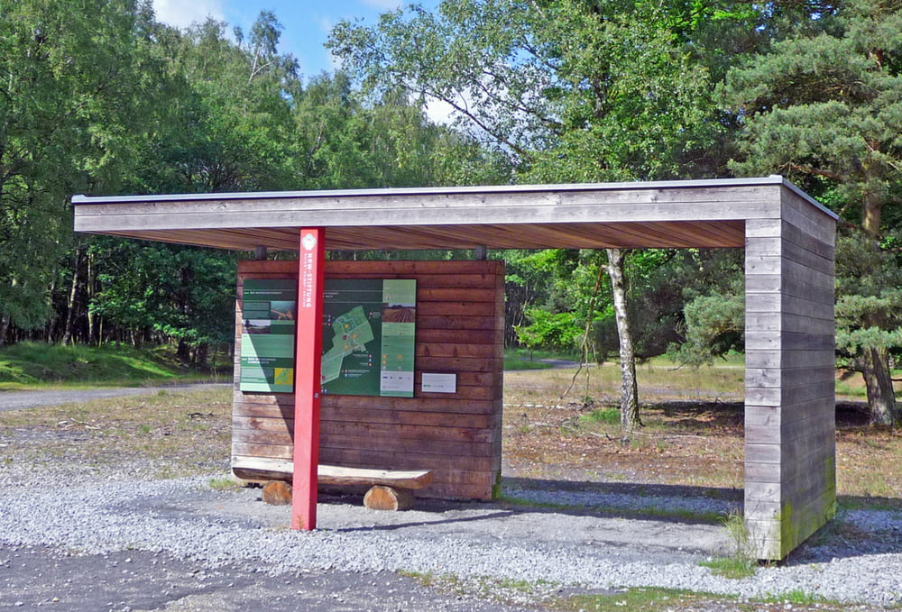
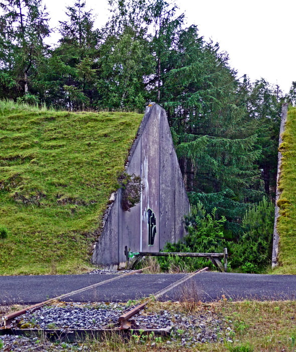
Schöne Rundstrecke von Brüggen durch die Schwalmauen (Dillborner Benden) und den Brachter Wald (ehemaliges Munitionsdepot) Da ein Teil der Strecke asphaltiert ist, sollte man Asphalt-Pads für die Nordic-Walking-Stöcke dabei haben.
Galeria trasy
Mapa trasy i profil wysokości
Minimum height 49 m
Maximum height 106 m
Komentarze

A 52 Ausfahrt 3 (Niederkrüchten) - auf B 221 links ab Richtung Brüggen - an der 1.Ampel lnks in die Klosterstraße (L 37) - vor der Linkskurve liegt rechts ab ein großer Parkplatz
GPS tracks
Trackpoints-
GPX / Garmin Map Source (gpx) download
-
TCX / Garmin Training Center® (tcx) download
-
CRS / Garmin Training Center® (crs) download
-
Google Earth (kml) download
-
G7ToWin (g7t) download
-
TTQV (trk) download
-
Overlay (ovl) download
-
Fugawi (txt) download
-
Kompass (DAV) Track (tk) download
-
Karta trasy (pdf) download
-
Original file of the author (gpx) download
Add to my favorites
Remove from my favorites
Edit tags
Open track
My score
Rate

