Login

Zapomniałeś swój login?

Cookies have to be accepted!
Your browser's cookie functionality is disabled. Please enable this functionality.

Not a member yet?

Register now
Login

Available for registred users only

Log in to use this feature.

Zapomniałeś swój login?

Cookies have to be accepted!
Your browser's cookie functionality is disabled. Please enable this functionality.

Not a member yet?

Register now
Filter
Kategorie
Advanced filters
  • Długość (km)
  • Wysokość
Zapisz filtr Reset filter

TrackRank

QRCode

Technical data

Długość26,5 km Wysokość25 m Way down20 m Czas trwania00:00 h:m Data11.06.2012
Oceny Author Krajobraz Czynnik zadowolenia Kondycja Technika

Statystyka

213 Widoki Oceny 38 Downloads / Pliki do pobrania Przeciętnie
Rate
  • Karta trasy
  • Dojazd
  • Downloads / Pliki do pobrania

Tourendatum: 05.06.2012

Tourencharakter: Einfache Rundtour entlang von Flüssen und Kanälen auf fast ausschließlich asphaltierten Nebenstrassen, keine Steigungen.

Tourenverlauf: Isamar Camping - flussaufwärts entlang der Adige - entlang eines Kanales nach Norden - flussabwärts entlang der Brenta - auf kurzem Sandstrassenabschnitt zurück nach Isamar.
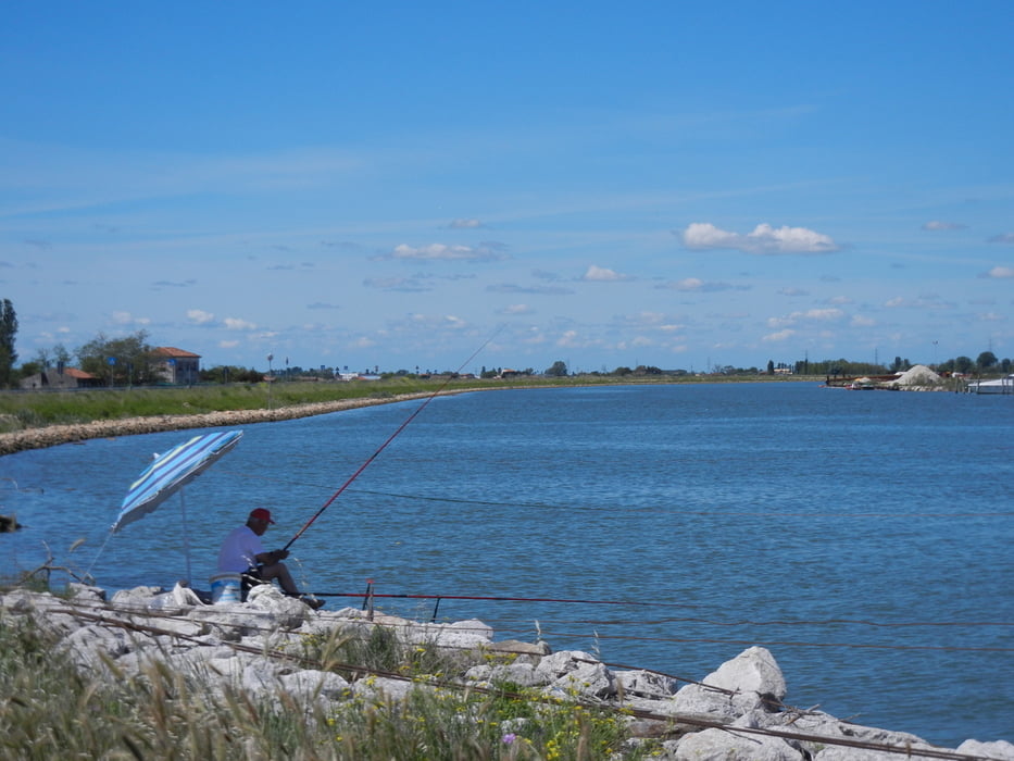
Galeria trasy

Mapa trasy i profil wysokości

  • Open Street Map
  • Google
Minimum height -6 m Maximum height 4 m Widok szczegółowy

More about the tour author

Eimy
Member since 2008

Send private message

Komentarze

Der Campingplatz liegt ca. 15 km südlich von Chioggia direkt am Meer. Die Anfahrt ab der S309 ist beschildert.

GPS tracks

Trackpoints
  • GPX / Garmin Map Source (gpx) download
  • TCX / Garmin Training Center® (tcx) download
  • CRS / Garmin Training Center® (crs) download
  • Google Earth (kml) download
  • G7ToWin (g7t) download
  • TTQV (trk) download
  • Overlay (ovl) download
  • Fugawi (txt) download
  • Kompass (DAV) Track (tk) download
  • Karta trasy (pdf) download
  • Original file of the author (gpx) download

More about the tour author

Eimy
Member since 2008

Send private message
Share track
Add to my favorites
Remove from my favorites
Edit tags
My score
Rate
Trasa: Isamarrunde am Wasser entlang
Rodzaj: Rower trekkingowy
Długość: 26,5 km
Evaluated on:
Czas trwania:
Day(s)
Hour(s)
Minute(s)
Ocena: Krajobraz Czynnik zadowolenia Kondycja Technika