Login

Zapomniałeś swój login?

Cookies have to be accepted!
Your browser's cookie functionality is disabled. Please enable this functionality.

Not a member yet?

Register now
Login

Available for registred users only

Log in to use this feature.

Zapomniałeś swój login?

Cookies have to be accepted!
Your browser's cookie functionality is disabled. Please enable this functionality.

Not a member yet?

Register now
Filter
Kategorie
Advanced filters
  • Długość (km)
  • Wysokość
Zapisz filtr Reset filter

TrackRank

QRCode

Technical data

Długość48,1 km Wysokość2256 m Way down2258 m Czas trwania05:28 h:m Data14.06.2012
Oceny Author Krajobraz Czynnik zadowolenia Kondycja Technika

Statystyka

567 Widoki Oceny 72 Downloads / Pliki do pobrania Przeciętnie
Rate
  • Karta trasy
  • Dojazd
  • Downloads / Pliki do pobrania

Ruta mtb de alto nivel.Paisajes que quitan el aliento.Muchas trialeras.95% ciclable.Gracias a Manu y Jose Alberto que diseñaron el recorrido

Si vas a Gran Canaria y tienes nivel en Bici de montaña:Esta ruta es el Must del Norte de Gran Canaria.

Sehr Schöne und technische Tour.
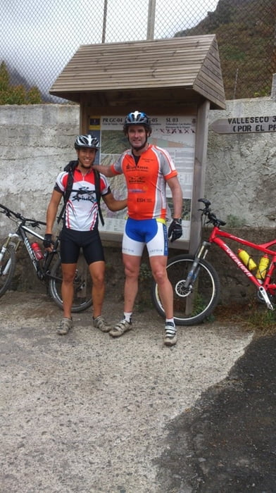


Galeria trasy

Mapa trasy i profil wysokości

  • Open Street Map
  • Google
Minimum height 240 m Maximum height 1746 m Widok szczegółowy

More about the tour author

madeheimclaudio
Member since 2010

Send private message

Komentarze

Salida parking de centro de deportes Arucas.Ascenso uniendo senderos y pistas hasta los Moriscos 1700 mts.Descenso tecnico por trialeras.

GPS tracks

Trackpoints
  • GPX / Garmin Map Source (gpx) download
  • TCX / Garmin Training Center® (tcx) download
  • CRS / Garmin Training Center® (crs) download
  • Google Earth (kml) download
  • G7ToWin (g7t) download
  • TTQV (trk) download
  • Overlay (ovl) download
  • Fugawi (txt) download
  • Kompass (DAV) Track (tk) download
  • Karta trasy (pdf) download
  • Original file of the author (tcx) download

More about the tour author

madeheimclaudio
Member since 2010

Send private message
Share track
Add to my favorites
Remove from my favorites
Edit tags
My score
Rate
Trasa: Ruta PinilloNorte Gran Canaria Claudio
Rodzaj: Rower górski (MTB)
Długość: 48,1 km
Evaluated on:
Czas trwania:
Day(s)
Hour(s)
Minute(s)
Ocena: Krajobraz Czynnik zadowolenia Kondycja Technika