


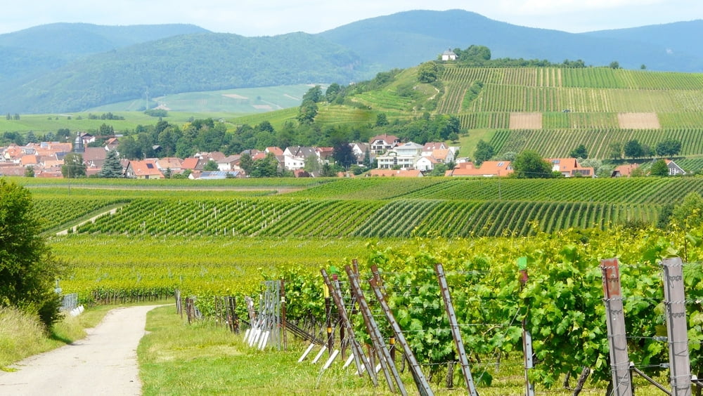
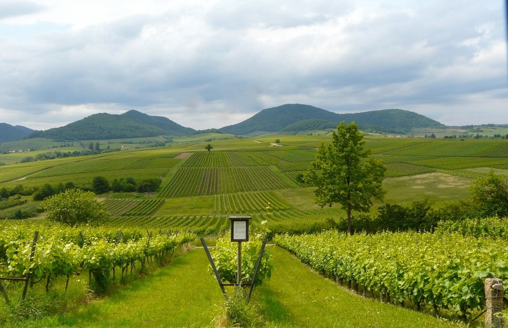
Schöne Fahrradtour durch das Rebenmeer der Südlichen Weinstraße zwischen Bad Bergzabern und Ilbesheim (ca. 15 km). Eine fast 360°-Panorama Aussicht auf die Südliche Weinstraße bietet die nur 265 m hohe Kleine Kalmit bei Ilbesheim. Ein garantiert unvergessliches Erlebnis.
Nach einem kleinen Picknick kann man dann über Leinsweiler - Eschbach - Klingenmünster zur Burg Landeck (siehe auch den Link) fahren und dort einkehren.
Der Rückweg entlang der Haardt führt über Gleiszellen - Pleisweiler-Oberhofen direkt nach Bad Bergzabern.
Further information at
http://www.landeck-burg.de/Galeria trasy


Mapa trasy i profil wysokości
Minimum height 150 m
Maximum height 306 m
More about the tour author

|
wosob |
Komentarze

Von Landau kommend Richtung Wissembourg - Bad Bergzabern - Schulzentrum.
Kostenlose Parkplätze z. T. schattig
GPS tracks
Trackpoints-
GPX / Garmin Map Source (gpx) download
-
TCX / Garmin Training Center® (tcx) download
-
CRS / Garmin Training Center® (crs) download
-
Google Earth (kml) download
-
G7ToWin (g7t) download
-
TTQV (trk) download
-
Overlay (ovl) download
-
Fugawi (txt) download
-
Kompass (DAV) Track (tk) download
-
Karta trasy (pdf) download
-
Original file of the author (gpx) download
More about the tour author
|
|
wosob |
Add to my favorites
Remove from my favorites
Edit tags
Open track
My score
Rate